
CENTRAL FLA. — The coolest air of the season arrived on Saturday. But warmer weather quickly arrives to close out the weekend.
We have one more chilly night ahead tonight with mostly clear skies. Expect morning lows in the upper 40s, with lows in the 40s again likely in Marion and Sumter.
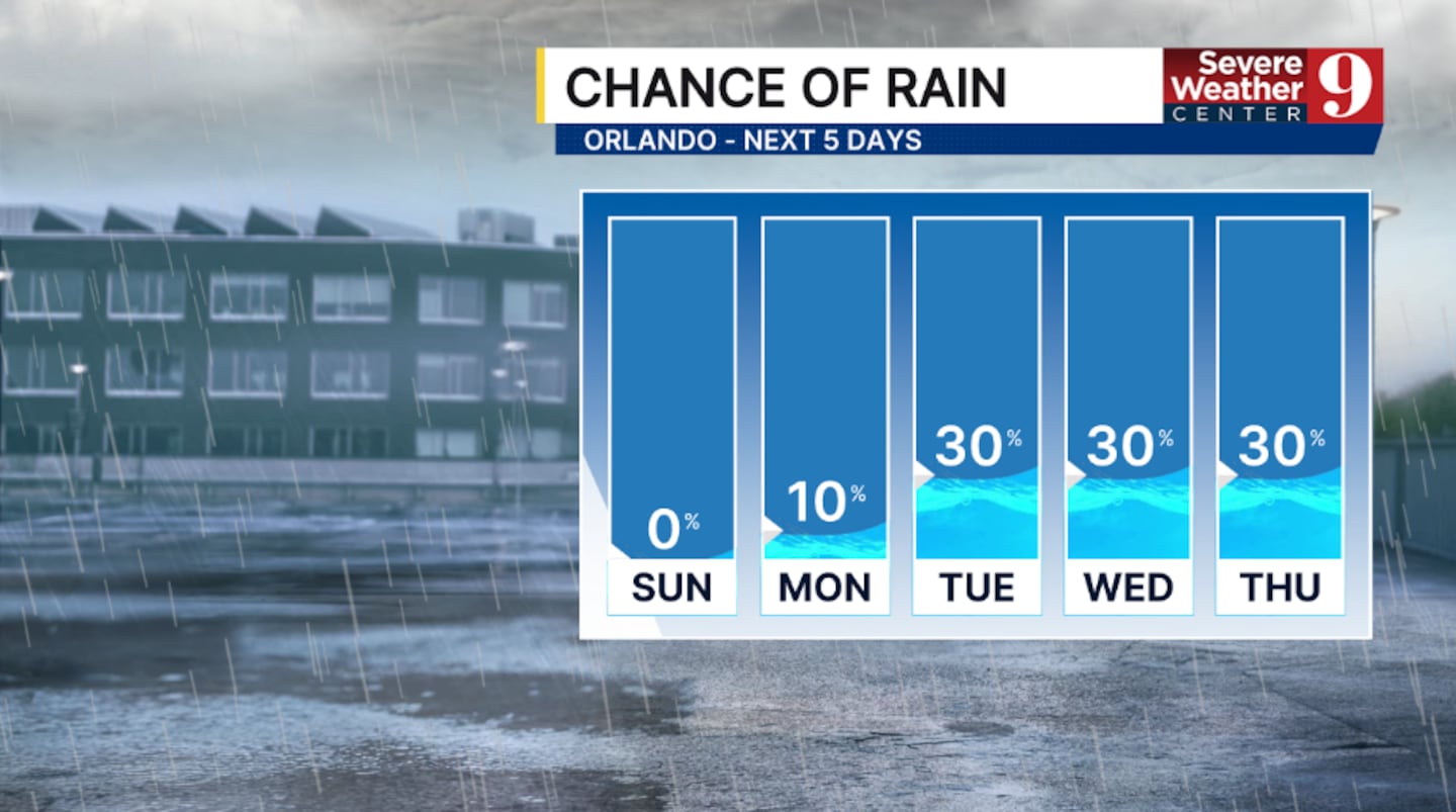
Winds switch to the east, bringing warmer weather back into the region. Sunday will remain dry, with highs pushing into the mid-70s.
A few showers are possible starting Monday as a stronger onshore flow develops across the area. Temps for Monday will hold in the low 70s.
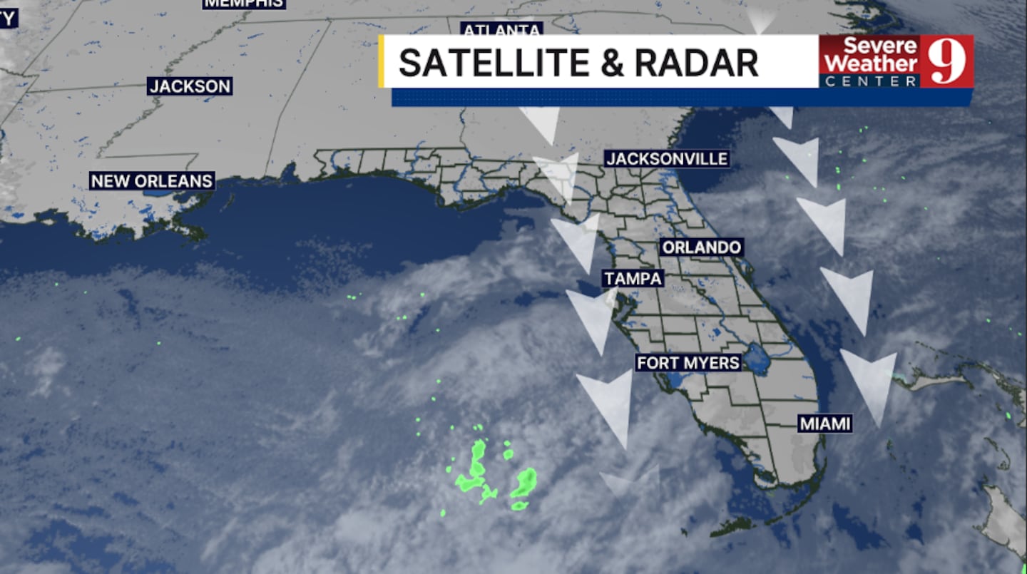
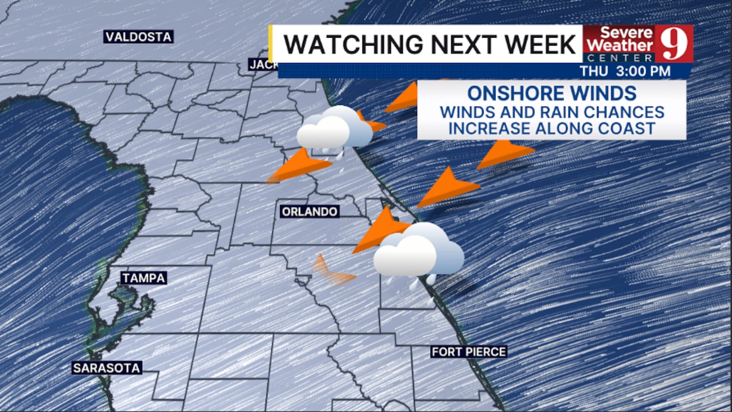
Rain chances increase further midweek as more moisture pushes into the area. Right now, the best chance for activity will be along the coast, with highs Tuesday and Wednesday in the mid-70s.
The onshore flow looks to continue for much of next week, keeping the threat for scattered showers. Temps for the back end of next week will be in the upper 70s.
Click here to download our free news, weather and smart TV apps. And click here to stream Channel 9 Eyewitness News live.

©2026 Cox Media Group


