ORLANDO, Fla. — Another Heat Advisory is in effect across most of Central Florida on Wednesday as dangerous heat and humidity continue to grip the region.
Afternoon high temperatures are expected to climb into the mid-90s, with heat index values ranging from 103 to 108 degrees.
Relief from the heat is on the way, however, as a cold front pushes into northern Florida later Wednesday.

The front is expected to bring temperatures back to more typical late-summer levels beginning Thursday.
Before cooler air arrives, the front will increase the risk of strong to severe thunderstorms on Wednesday afternoon.
Storms could produce pockets of heavy rain, frequent lightning, and wind gusts of up to 60 mph.
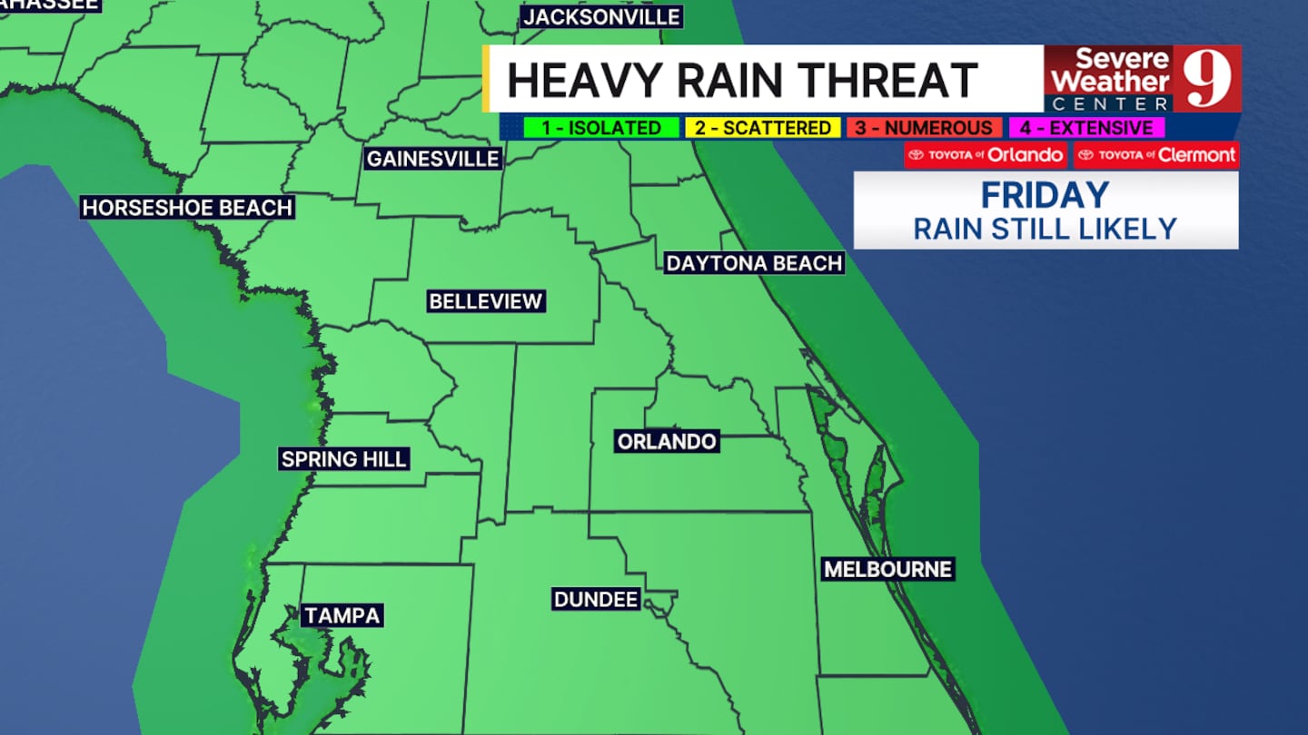
The unsettled weather will continue into Thursday morning, when additional rounds of heavy rain are expected.
The greatest concern over the next several days will be the potential for flooding.
Forecasters say isolated flooding is possible as multiple rounds of heavy rainfall move across the region.
The cold front is expected to stall just north of the Orlando area, keeping rain chances elevated through the weekend.
Some locations could receive up to 5 inches of rain before the system begins to move away.
Rain chances are expected to remain high through the upcoming weekend before a more typical summertime weather pattern returns early next week.
Click here to download our free news, weather and smart TV apps. And click here to stream Channel 9 Eyewitness News live.

©2026 Cox Media Group


