
, Fla. — Some drier air finally moved into Central Florida on Wednesday, and that trend will continue into Thursday.
A few scattered coastal showers remain possible this evening and overnight, with lows falling into the mid-70s.
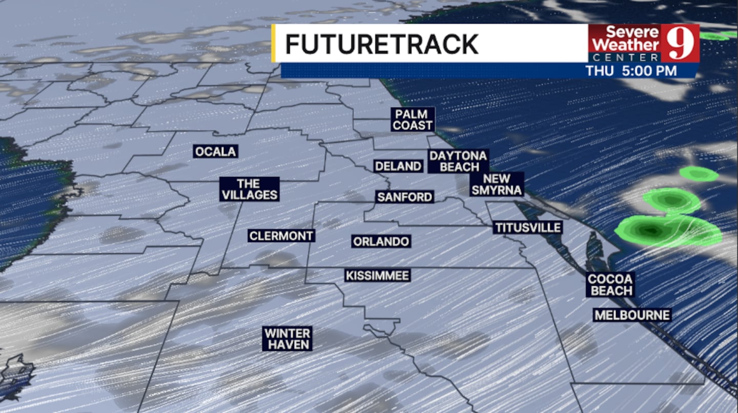
Thursday will bring another shift in the pattern. Some morning showers are possible across parts of Central and South Florida, but conditions should turn drier during the afternoon. High temperatures will reach the low 90s.
Even drier air moves in on Friday, limiting rain chances to just an isolated shower. Afternoon highs will top out in the upper 80s.
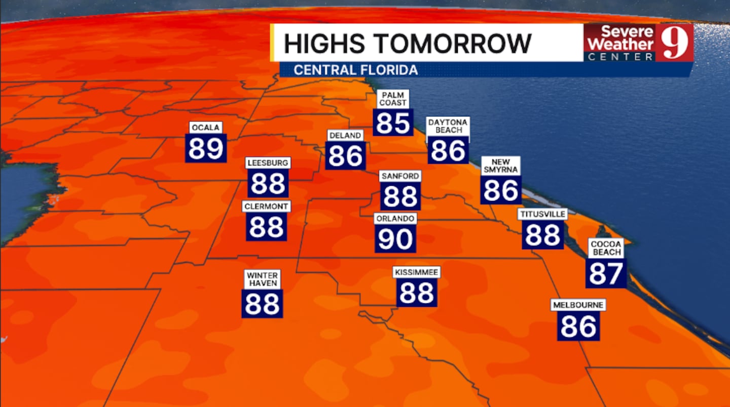
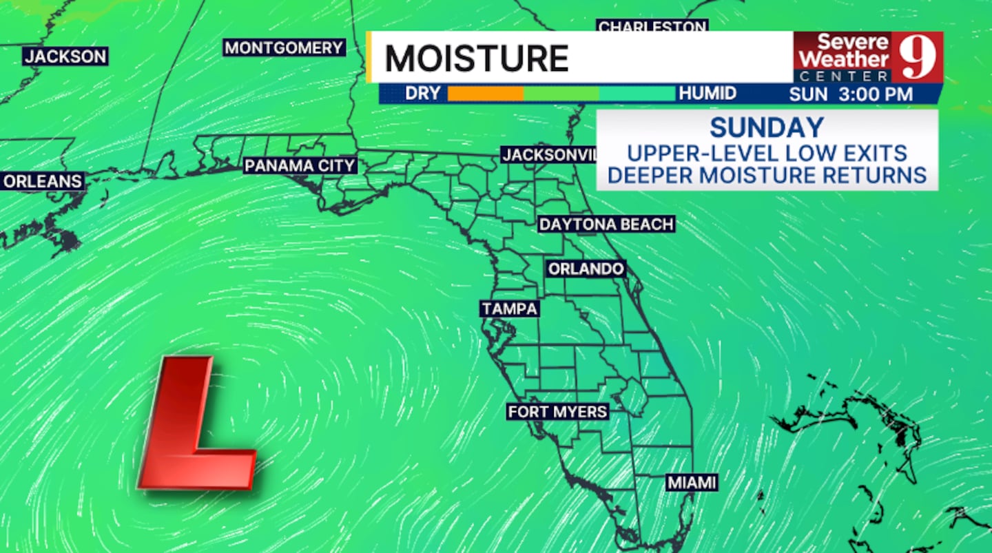
The dry stretch will be short-lived. An upper-level low is expected to move into the region this weekend, drawing deeper moisture back into Central Florida. As a result, rain and storm coverage will increase significantly Saturday and Sunday, while temperatures remain in the upper 80s.
That deeper moisture is expected to linger into next week, keeping rain and storm chances elevated across the area.
Click here to download our free news, weather and smart TV apps. And click here to stream Channel 9 Eyewitness News live.

©2026 Cox Media Group


