
ORLANDO, Fla. — Central Florida could see an increase in rain by the end of the week as tropical moisture associated with the remnants of Dolly moves toward the state.
The National Hurricane Center’s latest outlook gives the system a near-zero chance of redevelopment during the next 48 hours and a 10% chance during the next seven days. That is down from the 20% seven-day chance reported earlier.
The remnants were producing disorganized showers and thunderstorms extending from near Hispaniola eastward toward the northern Leeward Islands on Monday.
Forecasters said unfavorable upper-level winds should prevent significant development during the next several days as the system moves quickly west-northwest at 20 to 25 mph.
Regardless of whether the system redevelops, additional tropical moisture is expected to reach Florida and increase Central Florida’s rain chances toward the end of the week.
Locally heavy rain and gusty winds are also possible across portions of the Leeward Islands, Virgin Islands, Puerto Rico, Hispaniola and the Bahamas as the remnants move west.
Invest 97L could develop before reaching Gulf Coast
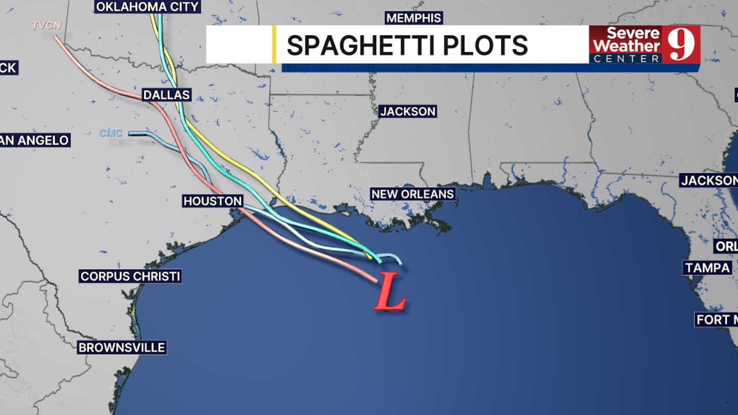
The National Hurricane Center is also monitoring Invest 97L in the northern Gulf.
The area of low pressure was located a little more than 100 miles south of Louisiana on Monday morning. It had a 70% chance of developing during both the next 48 hours and seven days.
A short-lived tropical depression or tropical storm could form before the system reaches the upper Texas or southwestern Louisiana coast Tuesday.
Invest 97L is moving away from Central Florida and is not expected to directly affect the area.
Heavy rainfall, gusty winds and possible flooding will be the primary concerns along portions of the upper Texas and southwestern Louisiana coasts, regardless of whether the system receives a name.
Click here to download our free news, weather and smart TV apps. And click here to stream Channel 9 Eyewitness News live.

©2026 Cox Media Group


