ORLANDO, Fla. — Saharan Dust plumes are common during this time of the year. These tiny dust particles travel for thousands of miles through what is known as the Saharan Air Layer (SAL).
Moisture is not absorbed by the particles, but the heat is trapped in the levels where the moisture is, preventing the air from rising, inhibiting storm development. The descending hot particles tend to bring very hot temperatures when present.
Check Central Florida’s Forecast
DOWNLOAD OUR FREE WFTV WEATHER APP TO RECEIVE ALERTS
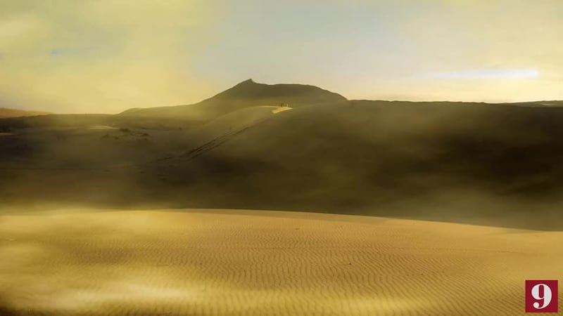
PHOTOS: Saharan dust seen from Central Florida and parts of the Caribbean, gorgeous sunrises and sunsets!
There is still lots of research being done about how exactly Saharan Dust acts around a tropical cyclone. Usually big, strong storms can fight off the dust, but weaker storms, or if they are not well defined, struggle to survive if dust particles are present.
Read: Forecasters highly confident about an active 2020 Hurricane Season
Nota en español: Temporada de Huracanes 2020: Pronosticadores altamente confiados en una temporada activa
>> CLICK HERE FOR LIVE DOPPLER 9 RADAR <<
Entérese del pronóstico del tiempo, en español, por nuestra meteoróloga Irene Sans

Follow our Severe Weather team on Twitter for live updates:
- Chief meteorologist Tom Terry
- Brian Shields
- Irene Sans
- Kassandra Crimi
- George Waldenberger
- Rusty McCranie
© 2020 Cox Media Group


