
CENTRAL FLA. — The first cold front of the season has pushed through the area, and some of the best weather in months is on the way.
The scattered showers will diminish this evening, with coastal activity still possible overnight. Morning lows will be in the low 70s.
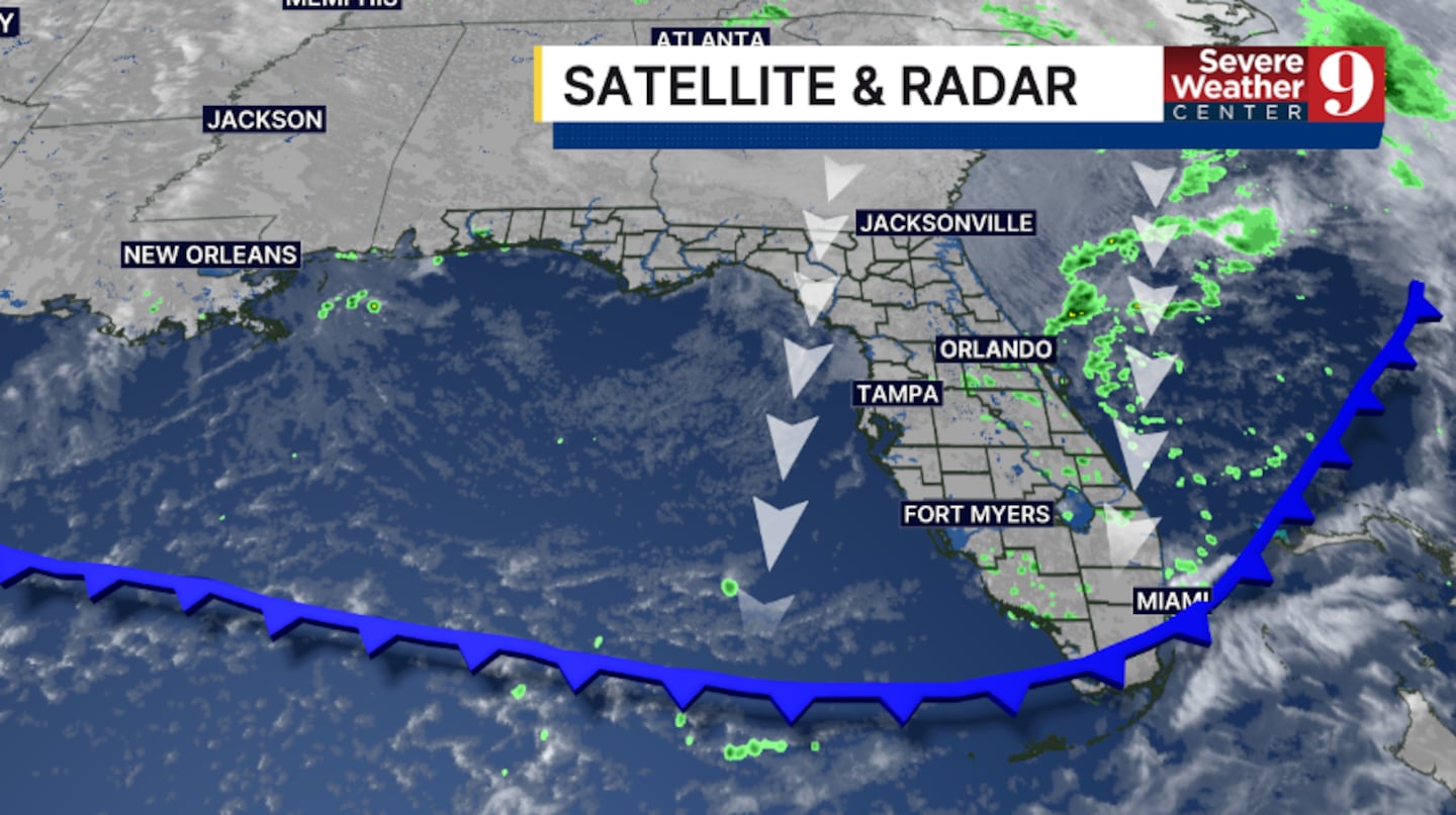
Drier air quickly moves into the area on Friday. Just a stray shower is anticipated, with temps to close out the work week in the mid-80s.
Winds will remain elevated along the coast Friday, with high surf likely and a chance of minor flooding during high-tide cycles.
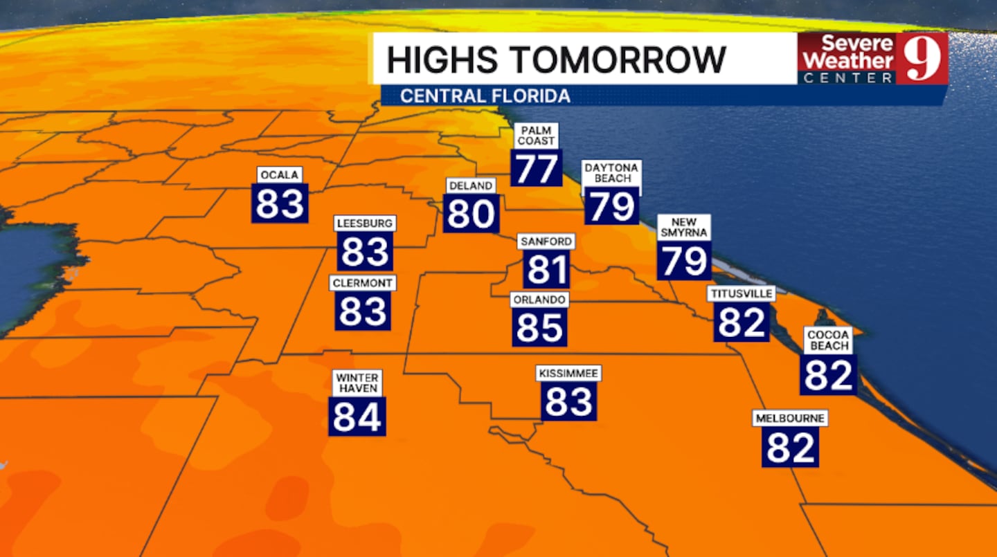
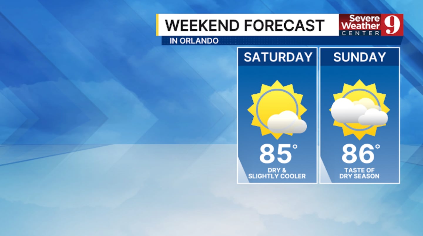
The weekend looks fantastic across the area. We’ll have plenty of sunshine both Saturday and Sunday, with dry conditions. Temps for the weekend will be in the mid-80s.
The taste of the dry season continues into the start of next week. The dry weather continues Monday and Tuesday, with warmer highs in the upper 80s.
Some moisture will work back into the area by mid next week, bringing a return of rain and storm chances.
Click here to download our free news, weather and smart TV apps. And click here to stream Channel 9 Eyewitness News live.

©2026 Cox Media Group


