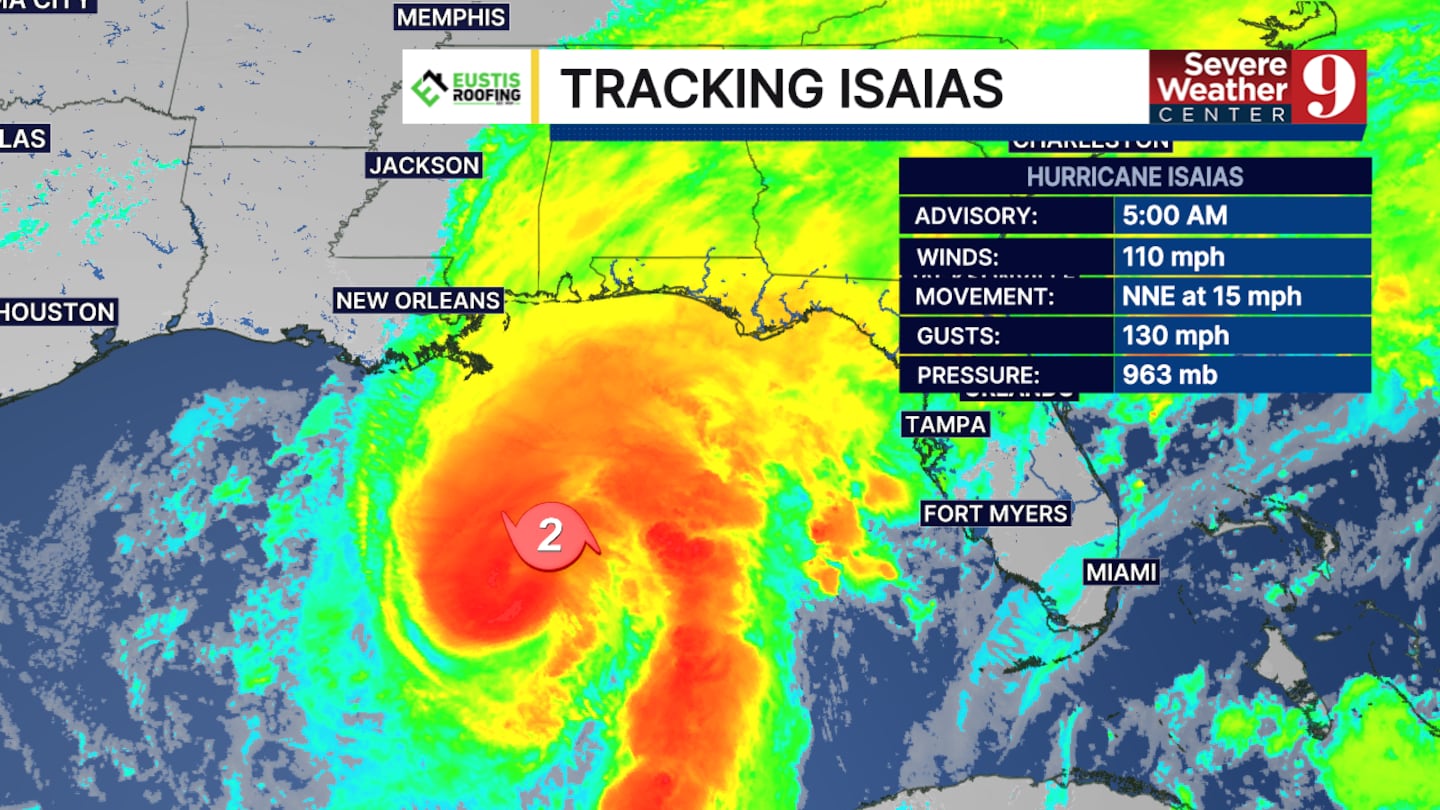
ORLANDO, Fla. — Hurricane Isaias remains a strong Category 2 hurricane Friday morning and is forecast to strengthen into a major Category 3 hurricane over the next 12 hours before weakening ahead of landfall, according to the latest forecast track.
The storm is expected to make landfall somewhere between Biloxi, Mississippi, and Destin, Florida, with the most likely window between 8 p.m. Friday and midnight.
Storm surge of 5 to 7 feet is possible along portions of the Gulf Coast between Mobile Bay and Fort Walton Beach, raising concerns for coastal flooding in vulnerable areas.
Strong winds are also expected to be a major impact along the coast as Isaias moves quickly toward landfall.
The storm’s forward speed could help limit overall rainfall totals, but heavy rain is still expected to bring the threat of isolated flooding.
The latest forecast calls for heavy rain Saturday, particularly along the stretch of coast between Pensacola and Panama City.
Despite the storm’s fast movement, isolated flooding remains possible in areas that receive the heaviest rainfall.
Forecasters expect Isaias to briefly strengthen into a major hurricane before quickly losing intensity through Friday evening as it approaches the coast.
Central Florida is not expected to experience any direct impacts from Hurricane Isaias, according to the current forecast.
Residents along the northern Gulf Coast should continue monitoring forecast updates as the storm approaches and remain alert for changes in the projected track, timing and potential impacts.
Click here to download our free news, weather and smart TV apps. And click here to stream Channel 9 Eyewitness News live.

©2026 Cox Media Group


