
CENTRAL Fla. — Things have turned active in the tropics this weekend, as we’re now monitoring three different areas in the Atlantic.
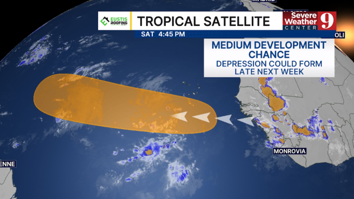
The first area is a potential development zone in the open Atlantic.
A strong tropical wave will move off the coast of Africa on Monday, and it could further organize next week and potentially become a tropical depression.
The National Hurricane Center is giving this area a 40% chance of development.
This wave will need to be monitored as it moves westward across the open Atlantic, but it will stay at sea for at least the next 7 days.
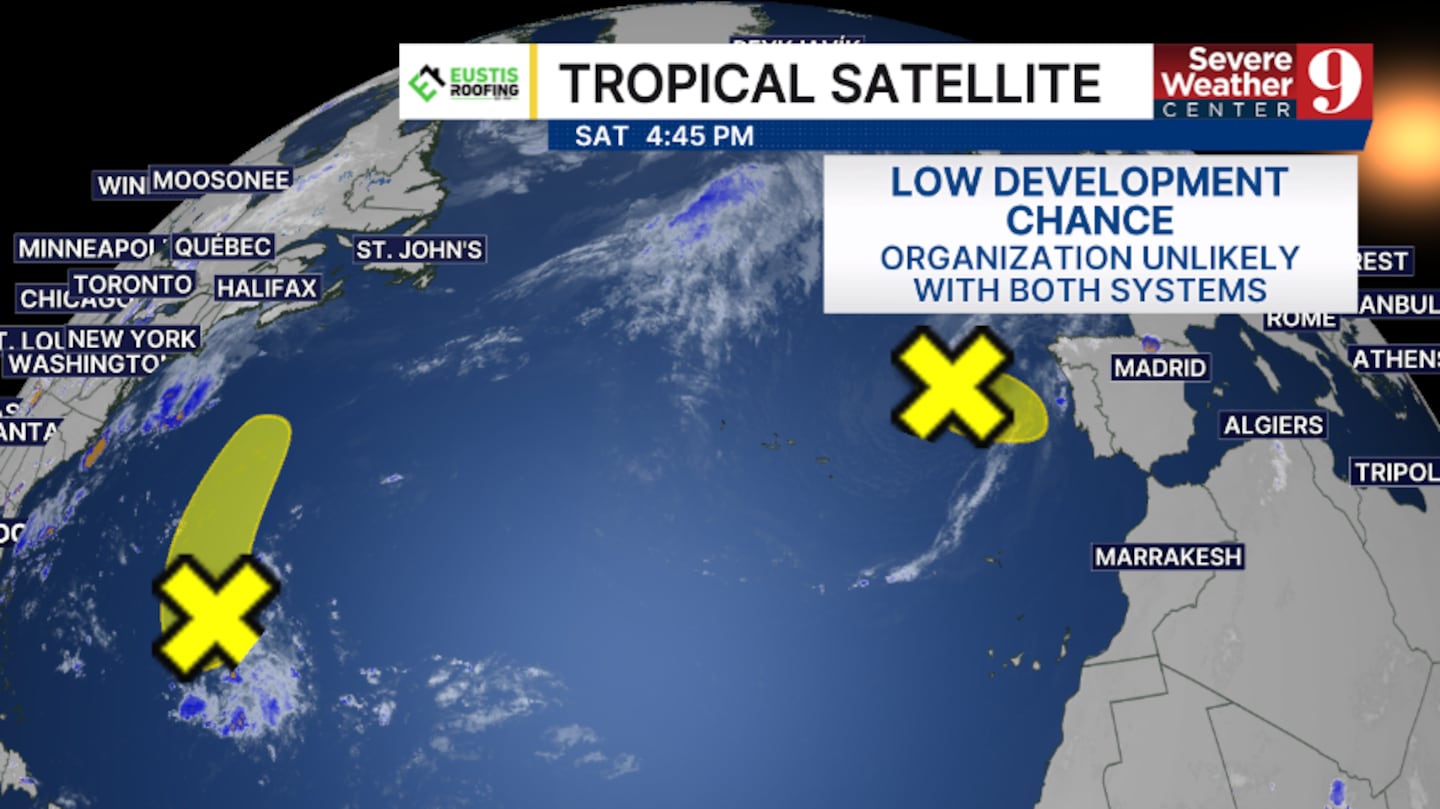
Two other areas of interest are in the North Atlantic.
A trough of low pressure is east of Bermuda and could slowly organize some this weekend and into early next week.
A second area is a low-pressure center west of Portugal near Western Europe.
This low-pressure area could acquire subtropical or tropical characteristics this weekend.
Both areas currently have just a 20% chance of development.
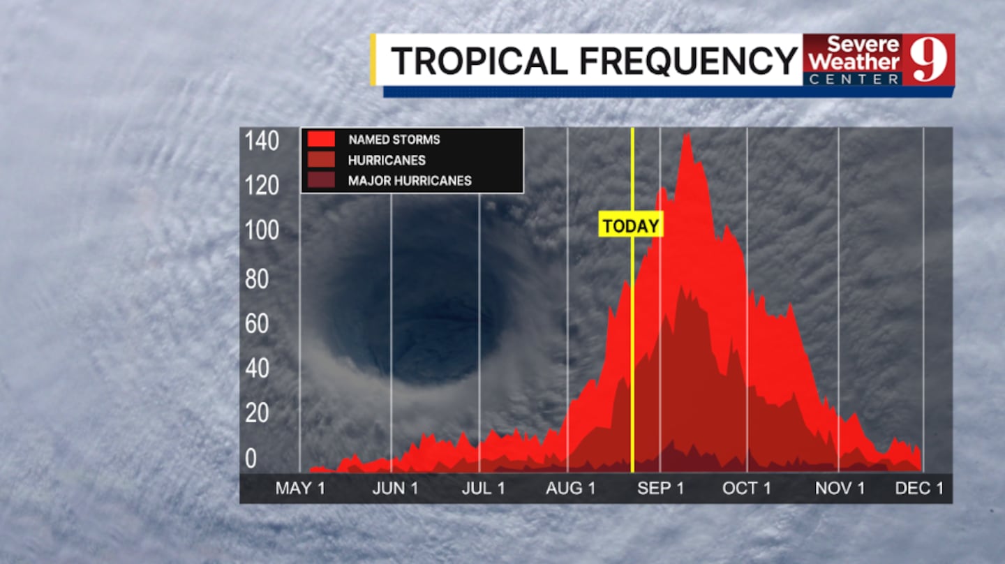
We are now in the peak of the Atlantic hurricane season, and additional areas of interest may develop over the next several weeks.
This is a great time to review your hurricane preparedness plans, as the highest likelihood of impacts to Florida is now through mid-October.
Stay with Severe Weather Center 9 for the latest on the tropics all season long.
Click here to download our free news, weather and smart TV apps. And click here to stream Channel 9 Eyewitness News live.

©2026 Cox Media Group


