
ORLANDO, Fla. — Central Florida is in for a wetter afternoon and evening, with showers and thunderstorms expected to develop earlier than usual on Tuesday.
Storms will begin popping up near the Atlantic coast in the early afternoon before tracking inland through the afternoon and evening.
A few stronger thunderstorms are possible, with the main threats being heavy rain, strong wind gusts and frequent lightning.
Some areas could pick up 2 to 3 inches of rain, especially where storms repeatedly move over the same locations.
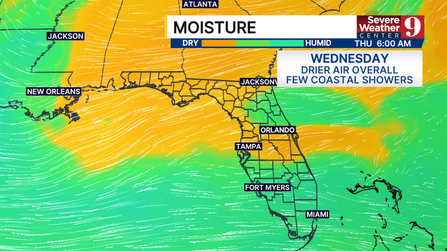
Rain chances will begin to decrease on Wednesday as drier air moves into Central Florida.
The added dry air will not completely shut down showers and thunderstorms, but it should help limit the potential for widespread heavy rain.
Temperatures will remain hot, with afternoon highs reaching the low 90s.
The combination of heat and humidity will push the heat index to around 100 degrees during the afternoon.
Looking beyond the next few days, there is no major change expected in Central Florida’s weather pattern over the next 7 to 10 days.
That means the region will continue to see typical late-summer conditions, with hot temperatures and daily rain and thunderstorm chances remaining part of the forecast.
Click here to download our free news, weather and smart TV apps. And click here to stream Channel 9 Eyewitness News live.

©2026 Cox Media Group


