
Central Florida — It was a cloudy and somewhat active Wednesday across the area, and more rain and storms are likely late week.
The scattered showers and storms will fade away this evening, with some coastal showers possible in Brevard towards daybreak. Morning lows will be in the mid 70s.
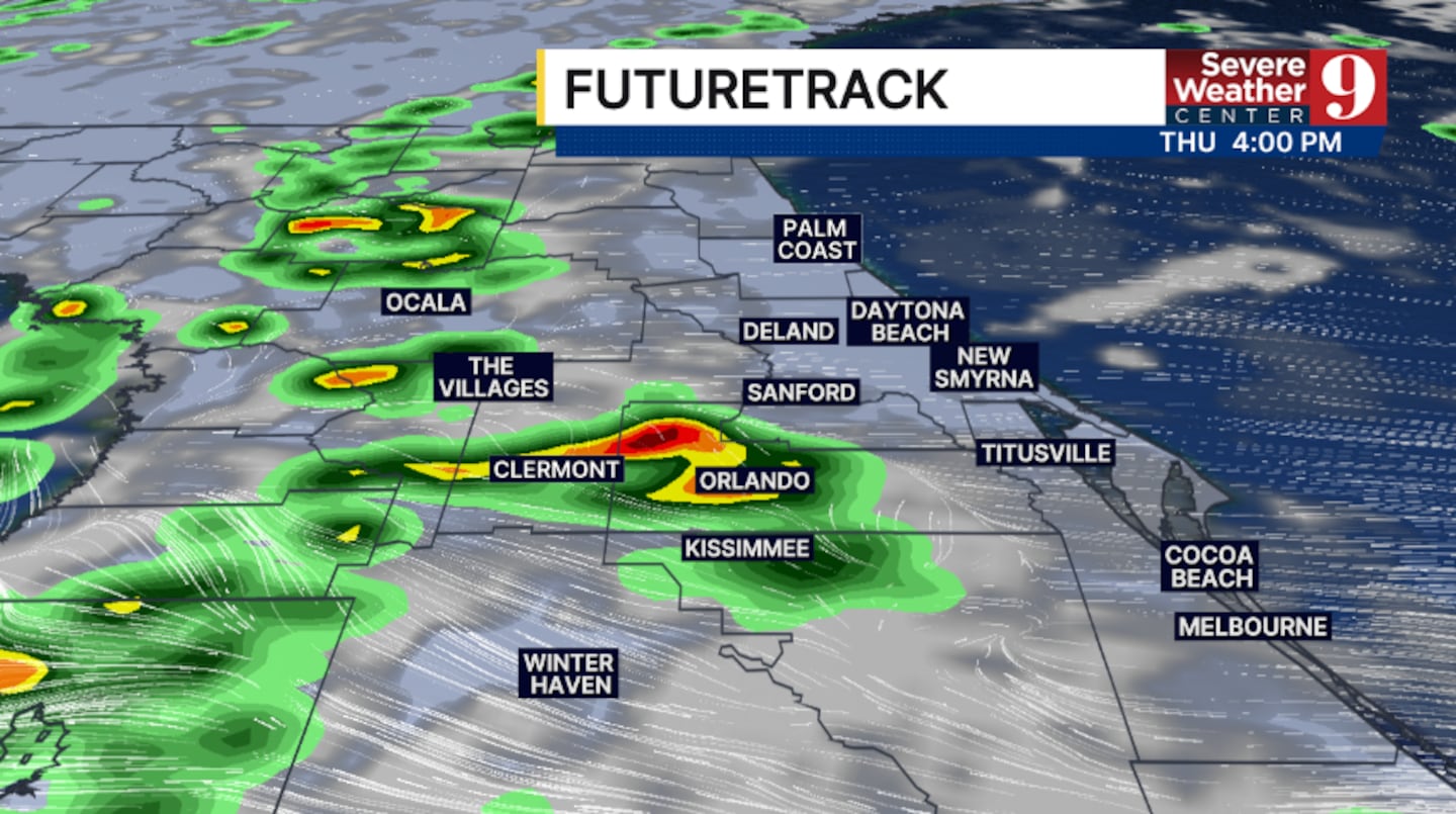
Scattered rain is likely on Thursday. The best chance of activity will be in the afternoon and early evening, with highs in the low 90s.
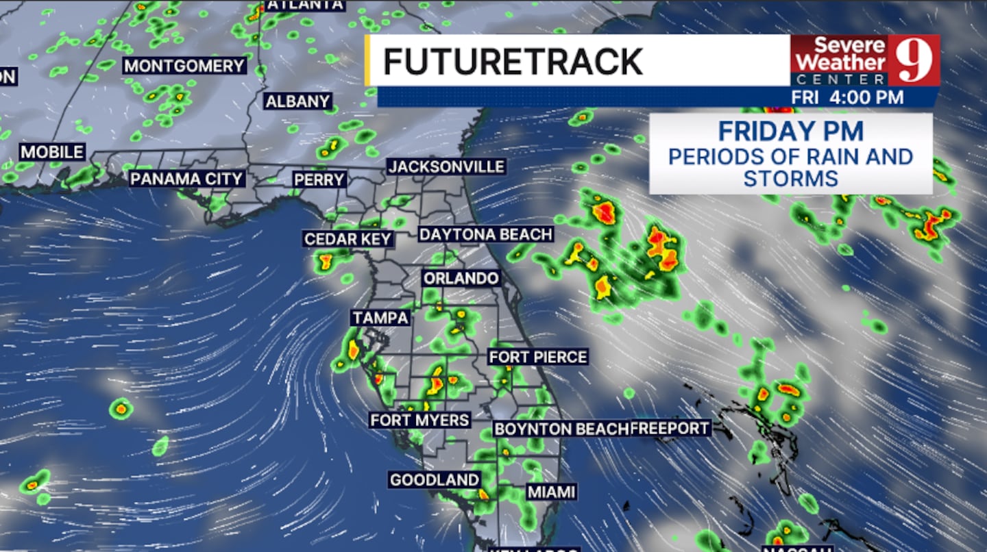
A tropical wave will push into the state on Friday, bringing deep tropical moisture into the region.
A lot of clouds and widespread rain are likely, with Friday highs in the low 90s.
The tropical wave will remain over the area Saturday, keeping rain and storm chances elevated. We will also have mostly cloudy skies with highs in the low 90s.
The wave exits Sunday, and drier air moves in to close out the weekend. Lower rain and storm chances are expected Sunday, with temps in the low 90s.
We start the school year for many next week with a more typical August pattern. Scattered PM storms are likely Monday and Tuesday, with highs in the low to mid-90s.
Click here to download our free news, weather and smart TV apps. And click here to stream Channel 9 Eyewitness News live.

©2026 Cox Media Group


