
CENTRAL FLA — It was a hot and somewhat active end to the work week, and more heat is ahead for the weekend.
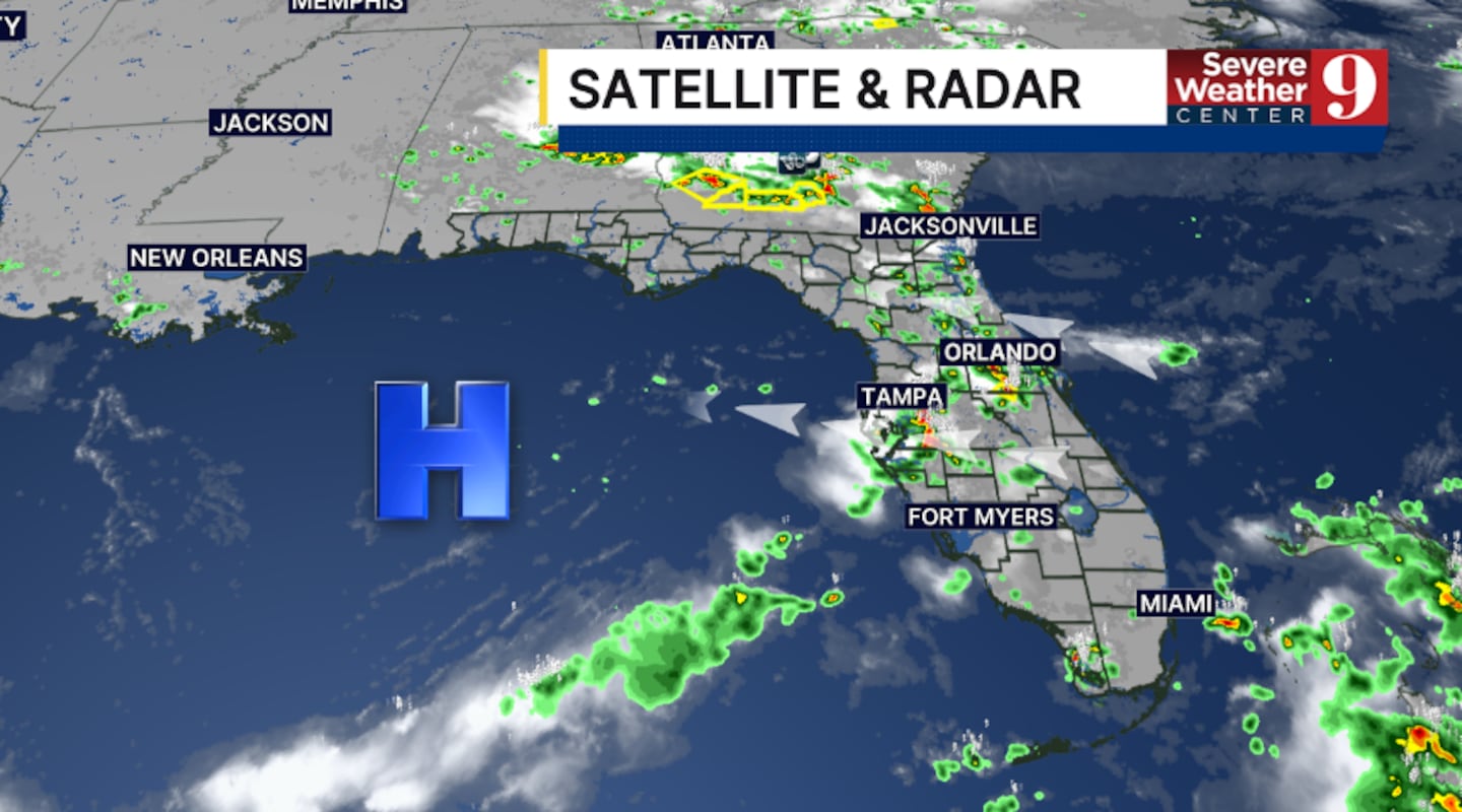
The scattered showers and storms will fade away this evening, with mostly clear skies overnight. Morning lows will be in the upper 70s.
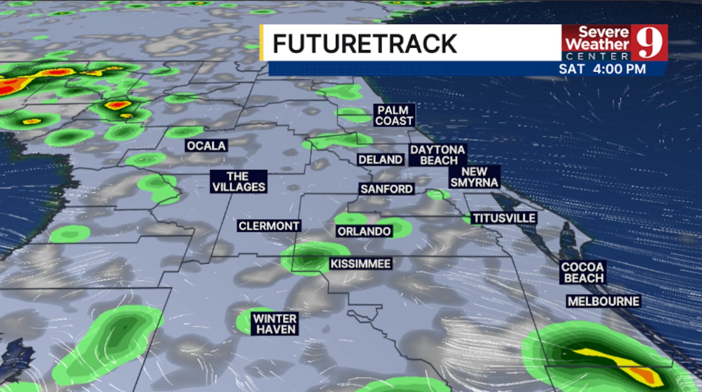
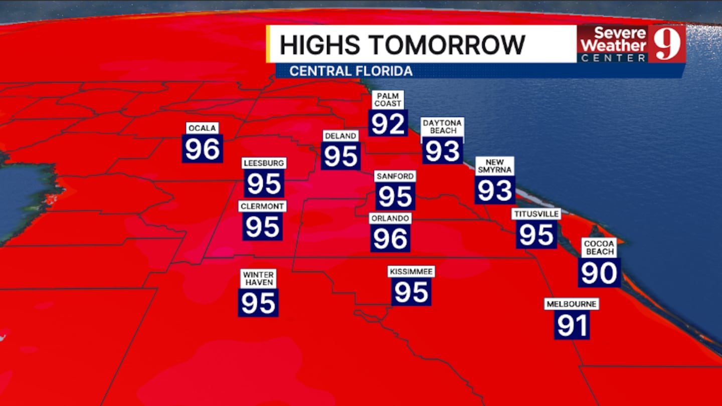
Our heat wave marches on into the weekend. Highs will again climb into the mid 90s, with heat indices above 105°. A few PM storms will be possible, but coverage will be lower than on Friday.
More dry air arrives Sunday, lowering rain coverage even further. It turns even hotter, with temps soaring into the upper 90s.
The start of next week will stay hot and mostly dry. Monday and Tuesday will again feature highs in the upper 90s, with just a few PM storms anticipated.
Moisture does begin to return late next week, with higher coverage of rain and storms starting Wednesday. Temps for the back end of next week will stay in the mid-90s.
Click here to download our free news, weather and smart TV apps. And click here to stream Channel 9 Eyewitness News live.

©2026 Cox Media Group


