
CENTRAL FLORIDA — It was another active day to close out the work week, and more rain and storms are ahead as a tropical wave impacts the area.
Scattered showers and storms will be possible this evening, with some coastal activity again possible in the early morning. Morning lows will be in the mid 70s.
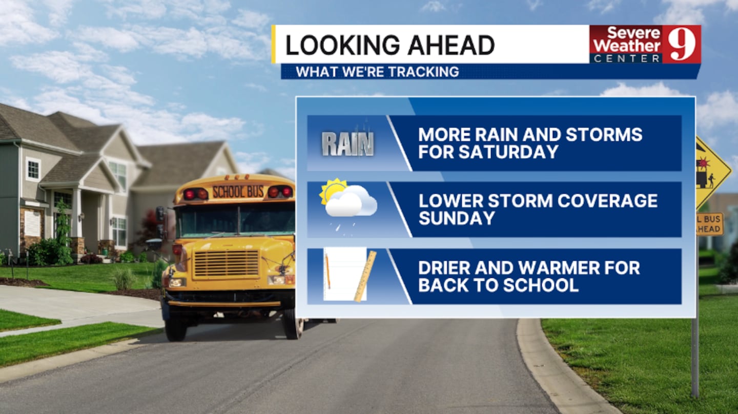
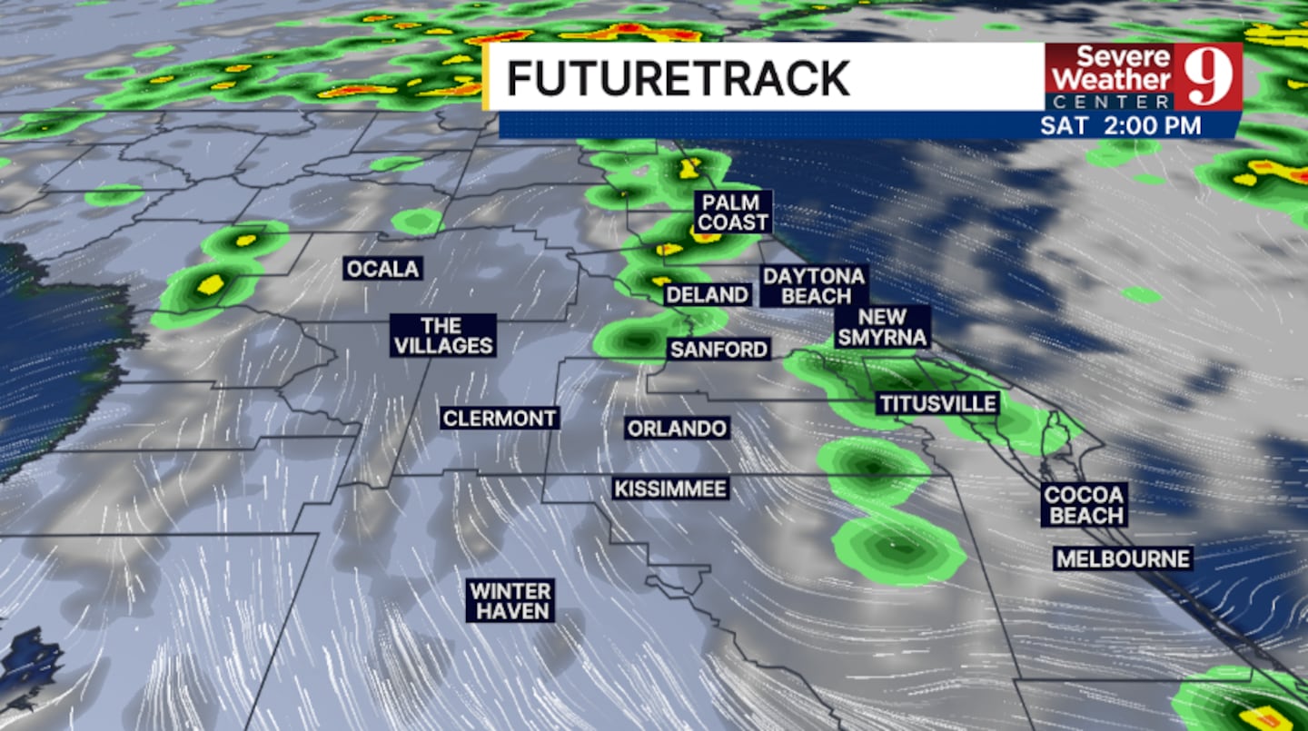
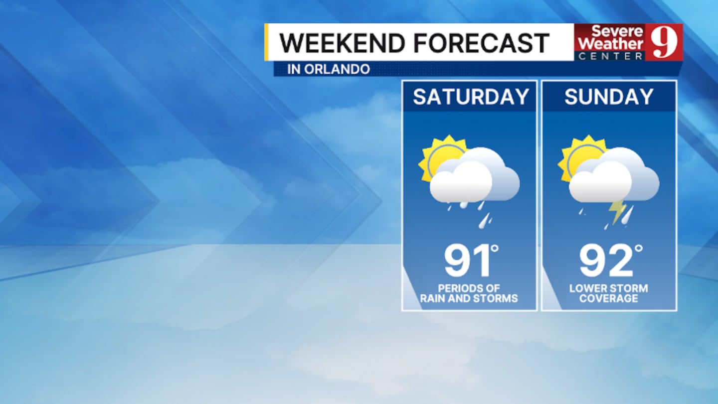
The tropical wave continues to float over the region, keeping rain and storm chances elevated. The best chance for activity will be in the midday and PM hours, with highs in the low 90s.
The wave lifts northward on Sunday, allowing drier air to return. Expect just scattered PM showers and storms, with temps in the low 90s.
Even more dry air arrives just in time for Back-to-School. Monday will feature widely scattered PM storms, with highs in the low 90s.
Tuesday will feature only isolated PM storms, with warmer highs in the mid 90s.
The low rain chances will continue for much of next week, but temperatures will climb into the mid-90s through next Friday.
Click here to download our free news, weather and smart TV apps. And click here to stream Channel 9 Eyewitness News live.

©2026 Cox Media Group


