ORLANDO, Fla. — The winds shift and the changes will be felt across Central Florida to end the work week.
- High temperatures continue to climb, highs on Thursday reached the mid to upper-70s.
- Low temperatures will dip Thursday night back into the low-60s across Metro areas and upper-50s in the suburbs.
- The winds will be from the east on Friday, producing those puffy-like clouds (cumulus clouds) also warming the temperature in the afternoon into the 80s.
- Another warm day is in the forecast on Saturday, with the wind from the southeast allowing the temperatures to reach the low- 80s on Saturday afternoon and more clouds in our skies.
- Sunny skies are forecast to stick around with no chance of rain until late Saturday, when another cool front is forecast to blow through, dropping high temperatures on Sunday back into the low-70s.
Yep, these were the last 70s this week..
— Irene Sans (@IreneSans) November 21, 2019
80s tomorrow and Saturday before the next cold front.
Read forecast here: https://t.co/RqgEO11iGW pic.twitter.com/n8ybnpjNo2
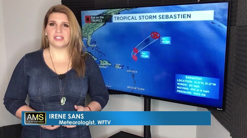
EYE ON THE TROPICS
Tropical Storm Sebastien continues to travel northward, moving away from the Caribbean over the open Atlantic waters. It does not represent a threat to the U.S. or any territory. It could become a hurricane on Friday, over the Atlantic waters before dissipating this weekend.

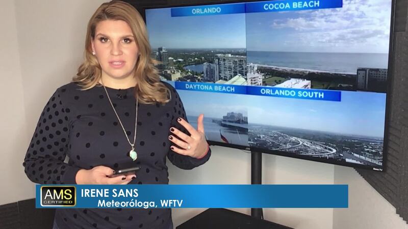
Watch your daily one-minute weather forecast from digital meteorologist Irene Sans:
Más información en español aquí: El tiempo para Florida Central
Follow our Severe Weather team on Twitter for live updates:
- Chief meteorologist Tom Terry
- Brian Shields
- Irene Sans
- Kassandra Crimi
- George Waldenberger
- Rusty McCranie

DOWNLOAD: Free WFTV News & Weather Apps
Cox Media Group