:quality(70)/arc-anglerfish-arc2-prod-cmg.s3.amazonaws.com/public/FRRSR6VCFVFFI5WNYJHACLQQ3Q.gif)
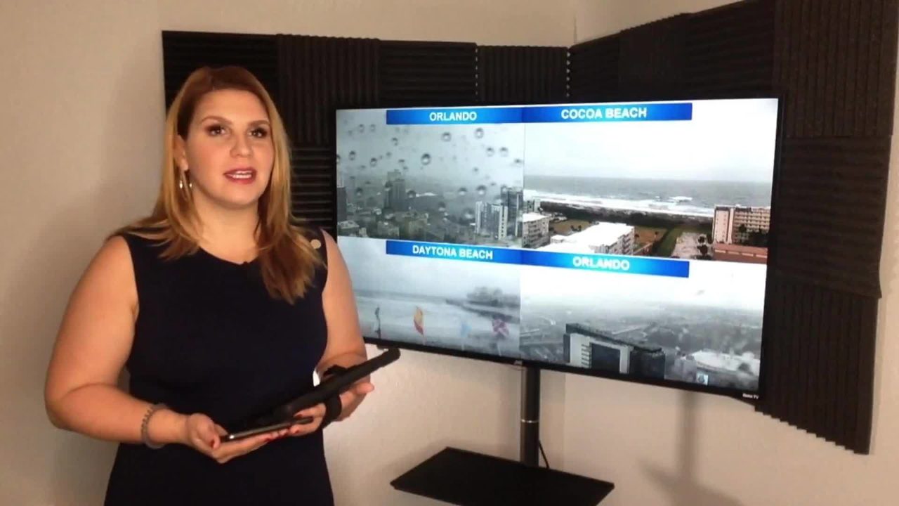
It was a wet Monday across Central Florida, with some locations receiving over 1 inch of rain.
There is still a chance for passing showers with embedded storms on throughout the evening, low temperatures around 73 degrees.
Storms will be moving relatively fast to the northwest, between 15- 20 mph, but they could still leave around a half-inch of rain for some locations.
We will continue with a high chance for showers and storms on Tuesday as a cold front approaches Florida. By Wednesday, the front will be crossing Central Florida and the storm chance will continue to be above 40 percent. The work-week will end with drier and much more comfortable conditions. There will be mostly sunny skies and the humidity will also feel much lower.
At the beach, the rip current risk is moderate. "The rough, breaking surf can tow you down, making you susceptible to getting caught in a dangerous rip current. Ask a lifeguard about ocean hazards when you arrive at the beach an only swim within sight of a lifeguard," the National Weather Service said.
Check your 5-Day Forecast below:
:quality(70)/d1hfln2sfez66z.cloudfront.net/11-04-2019/t_b768e37544d04dbfafff27b04ff40998_name_C69F44E5C8DE4283AE6B2A5C1A8AFBE6_2.jpg)
Follow our Severe Weather team on Twitter for live updates:
- Chief meteorologist Tom Terry
- Brian Shields
- Irene Sans
- Kassandra Crimi
- George Waldenberger
- Rusty McCranie

Cox Media Group
:quality(70)/cloudfront-us-east-1.images.arcpublishing.com/cmg/S2NZ72MMLZGQVIIXSEN5C7Y774.png)
:quality(70)/cloudfront-us-east-1.images.arcpublishing.com/cmg/UUVO7XDNUBHT3KYWBCUUIITOWQ.jpeg)
:quality(70)/cloudfront-us-east-1.images.arcpublishing.com/cmg/I5T7MMEFRNCXDJKAL62KN3APMY.jpeg)
:quality(70)/cloudfront-us-east-1.images.arcpublishing.com/cmg/VOHE6TPLTJDV5CIVYAAPSGXIYM.png)
:quality(70)/d1hfln2sfez66z.cloudfront.net/07-18-2022/t_a322a39ca2f3494493631911b8407936_name_TZ__OSC_MAGIC_CASTLE_SOLD_transfer_frame_1499.png)