
ORLANDO, Fla. — Keep the umbrella handy. Showers and storms will continue across Central Florida this evening, with even higher rain chances arriving Tuesday.
Rain will ease some during the early morning hours as temperatures fall into the mid-70s.
Tuesday brings periods of rain and thunderstorms, with heavy rainfall possible at times. Orlando’s rain chance is 80%, and highs will reach the mid-80s.
Rain and coastal concerns Wednesday
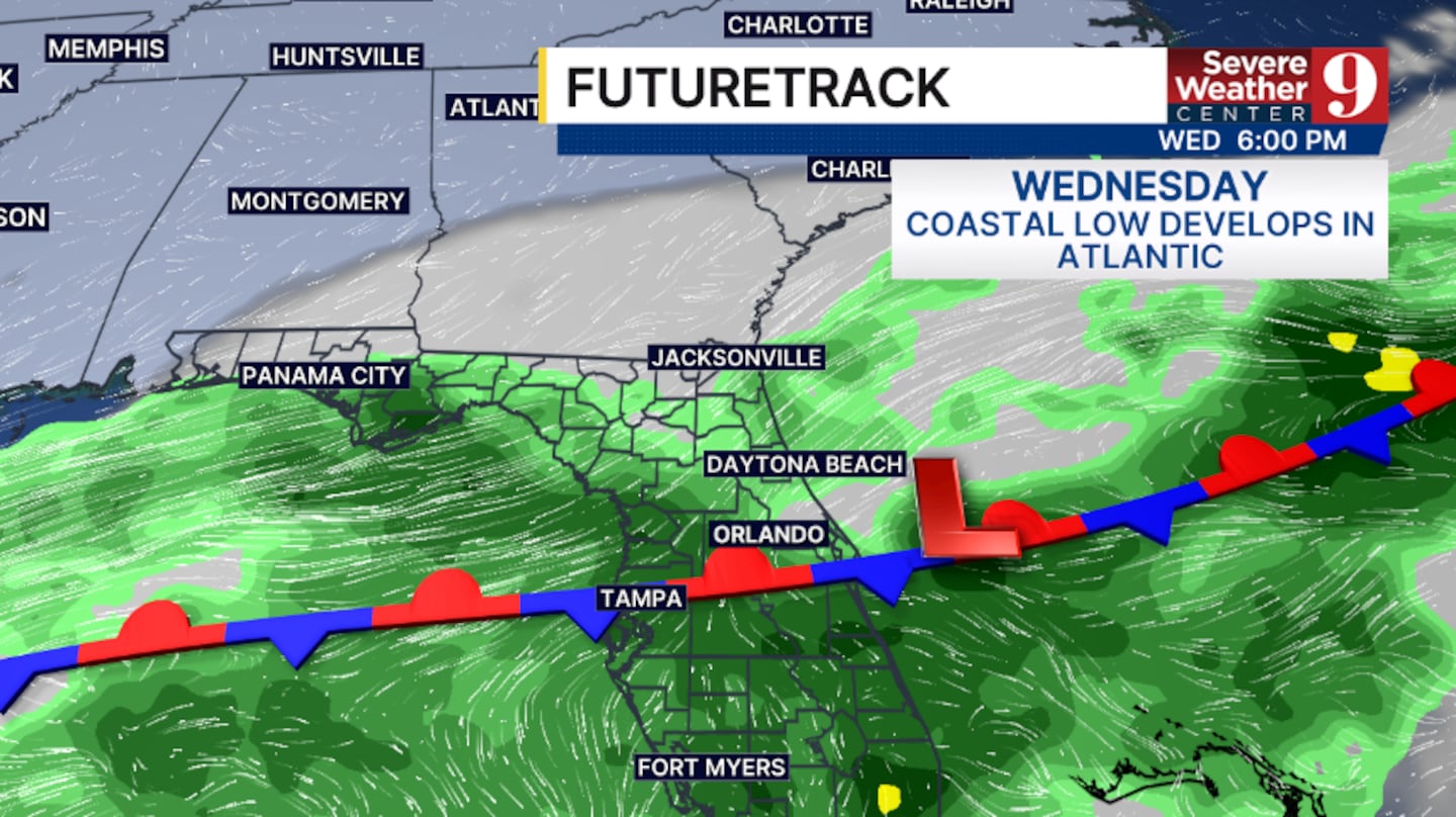
Rain chances remain at 80% Wednesday as a cold front lingers across the area. Highs will dip into the low 80s.
A developing coastal low will also increase winds and beach concerns along the Flagler and Volusia coastlines.
Wet pattern continues into late week
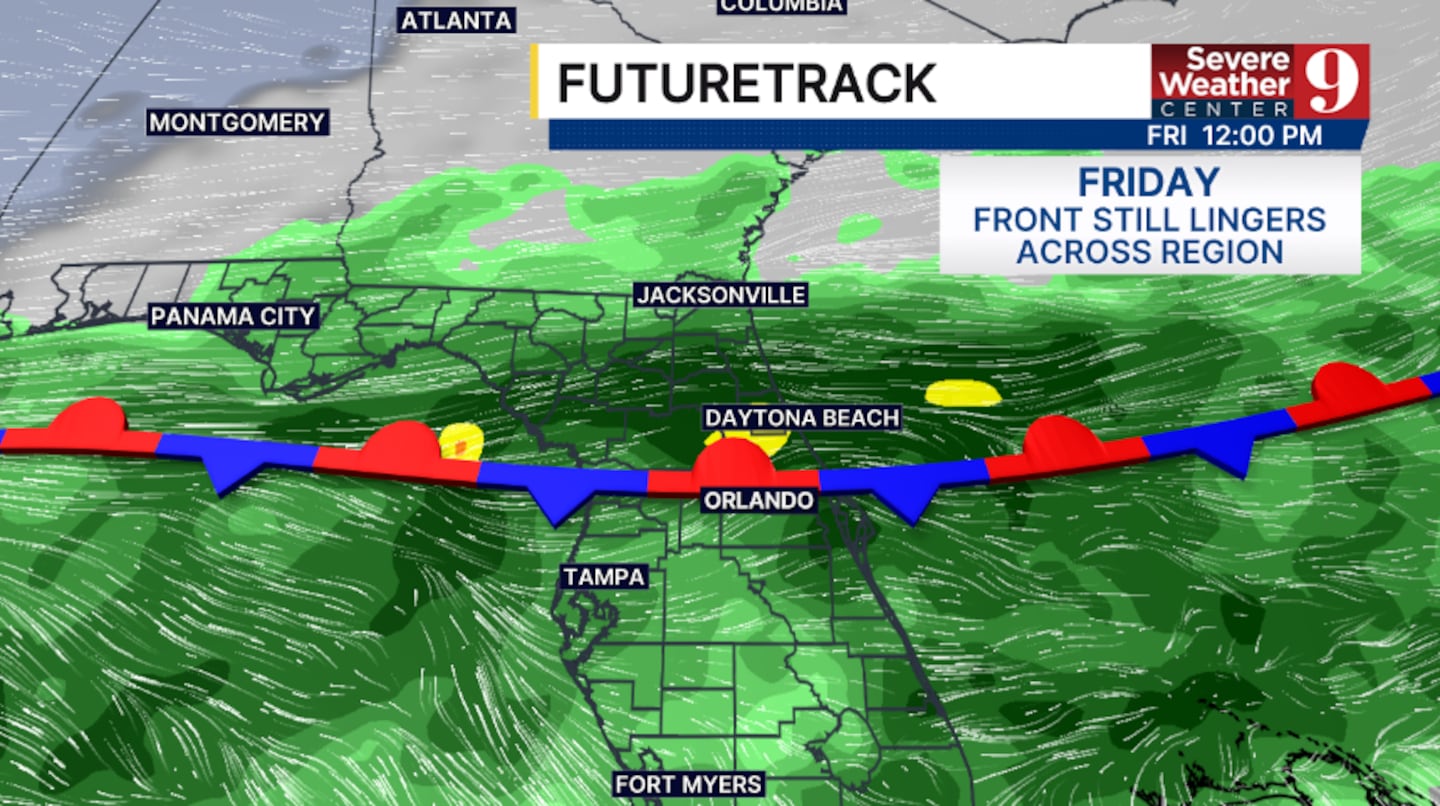
The front is expected to stall over Central Florida, keeping periods of rain and storms in the forecast Thursday and Friday. Highs will return to the mid-80s.
Orlando’s rain chances are 60% Thursday, 70% Friday and 60% Saturday.
Some drier air could arrive by next weekend, but that will depend in part on the exact track of a tropical system in the northern Gulf.
Click here to download our free news, weather and smart TV apps. And click here to stream Channel 9 Eyewitness News live.

©2026 Cox Media Group


