ORLANDO, Fla. — Saturday is going to be hot and steamy with storms continuing as we head into the early evening.
5 p.m. Update:
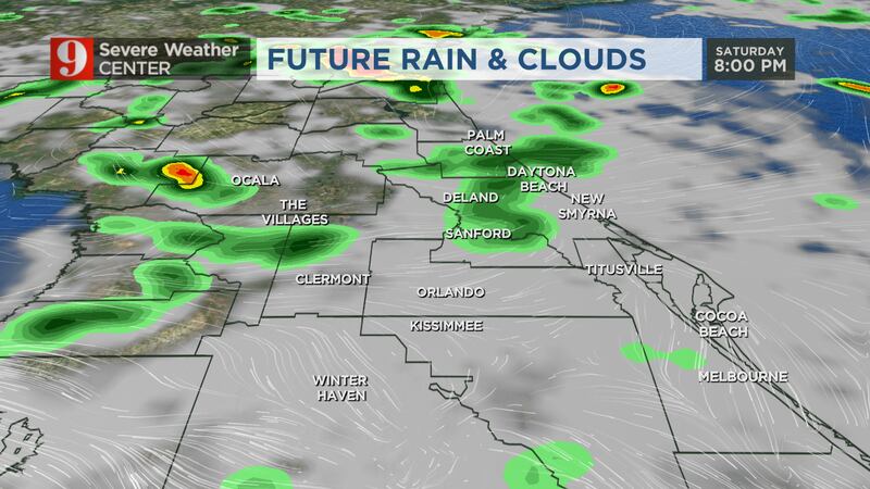
Scattered storms have already dropped 3″ of rainfall in some spots and the areas of rain will continue through sunset and taper off into Saturday night.
Isolated stronger storms may kick up winds up to 40 miles per hour and produce heavy lightning.
Read: City of Orlando releases apology after controversial Fourth of July statement
More storms are in the forecast for July 3rd and 4th. The mornings will have low rain chances, but isolated storms will begin developing.
For both Sunday and Monday, afternoon storms are likely, with the highest chance of rain each day between 3 p.m. and 6 p.m. for the Orlando area.
Read: Texas school shooting: Chief Pete Arredondo resigns from Uvalde City Council
If we are lucky, the storms will pass each day before fireworks celebrations begin, but areas west of Orlando will see the rain linger a little later into the evening.
Plan around the heat, rain and lightning for your outdoor events over the next two days.
Read: Florida boy, 11, recovering after being struck by lightning
Before rain develops, heat index numbers will push near 100 in many areas.
Previous Story:
Saturday is going to be hot and steamy with storms continuing as we head into the afternoon.
There is a 70% chance for showers and storms through the afternoon and evening.
>>> STREAM CHANNEL 9 EYEWITNESS NEWS LIVE <<<
Central Florida can expect highs in the upper 80s and low 90s.
Developing storms will be slow-moving and heavy rain totals will be likely for some communities again Saturday.
Read: 1 dead in Kissimmee house fire
Unfortunately, this elevated rain chance will stick around all weekend and may put a damper on many outdoor plans.
When it comes to the tropics, an area of low pressure off the coast of the Carolinas escalated quickly.
Read: Girl seriously injured in shark attack on Florida beach
Tropical Storm Colin is sitting near the coast of South Carolina and will bring heavy rain to the Carolina coast. It’s expected to move northeast, pulling away from us here in Central Florida.
Read: ULA Atlas V rocket successfully blasts off following weather delays
Click here to download the free WFTV news and weather apps, click here to download the WFTV Now app for your smart TV and click here to stream Channel 9 Eyewitness News live.