ORLANDO, Fla. — Update:
Scattered seabreeze thunderstorms and showers were moving through Central Florida on Tuesday afternoon.
▶ WATCH CHANNEL 9 EYEWITNESS NEWS
Storms will continue to pop up in the area through about 7 p.m. before things begin to quiet down overnight.
Another batch of warm, dry weather will soon make its way to the region.
Read: NHC tracking 3 tropical waves just days before the start of hurricane season
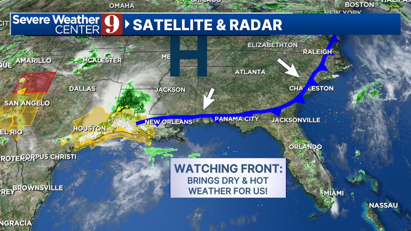
“A weak front will be moving into and south of our area through Wednesday as the winds shift to the north,” chief meteorologist Tom Terry said. “But the extra sun will bring even hotter (temperatures) -- in the mid-90s -- our way.”
Terry tracks Tuesday’s storms live on Channel 9 Eyewitness News, beginning at 4 p.m.
Click here to stream it live, and click here to download our news and weather apps.
Earlier story:

Central Florida will be hot, with a better chance of seeing rain and storms on Tuesday.
Our area will have a 40% chance of seeing rain and scattered storms.
The high temperature in Orlando should reach around 95 degrees Tuesday afternoon.
Read: Craft donut, coffee chain Parlor Doughnuts eyes new shop in west Orange County
We will continue to see highs in the mid-90s for the rest of the week.
Rain chances will be lower on Wednesday and Thursday before jumping back up on Friday.
Read: Light up your summer nights at a new after-hours event at Aquatica
Tropics are thankfully quiet as we prepare for the start of hurricane season on Saturday.
Follow our Severe Weather team on X for live updates:

©2024 Cox Media Group


