
ORLANDO, Fla. — Central Florida’s quiet weather will give way to increasing rain chances and gusty winds this weekend, with hazardous conditions developing along the coast.
A trough of low pressure is expected to develop over the Bahamas, bringing more clouds, showers and stronger winds to the region.
The changes follow the stretch of pleasant weather Channel 9 tracked through Friday. The highest rain chances will arrive Saturday night into Sunday.
Rain chances increase Saturday
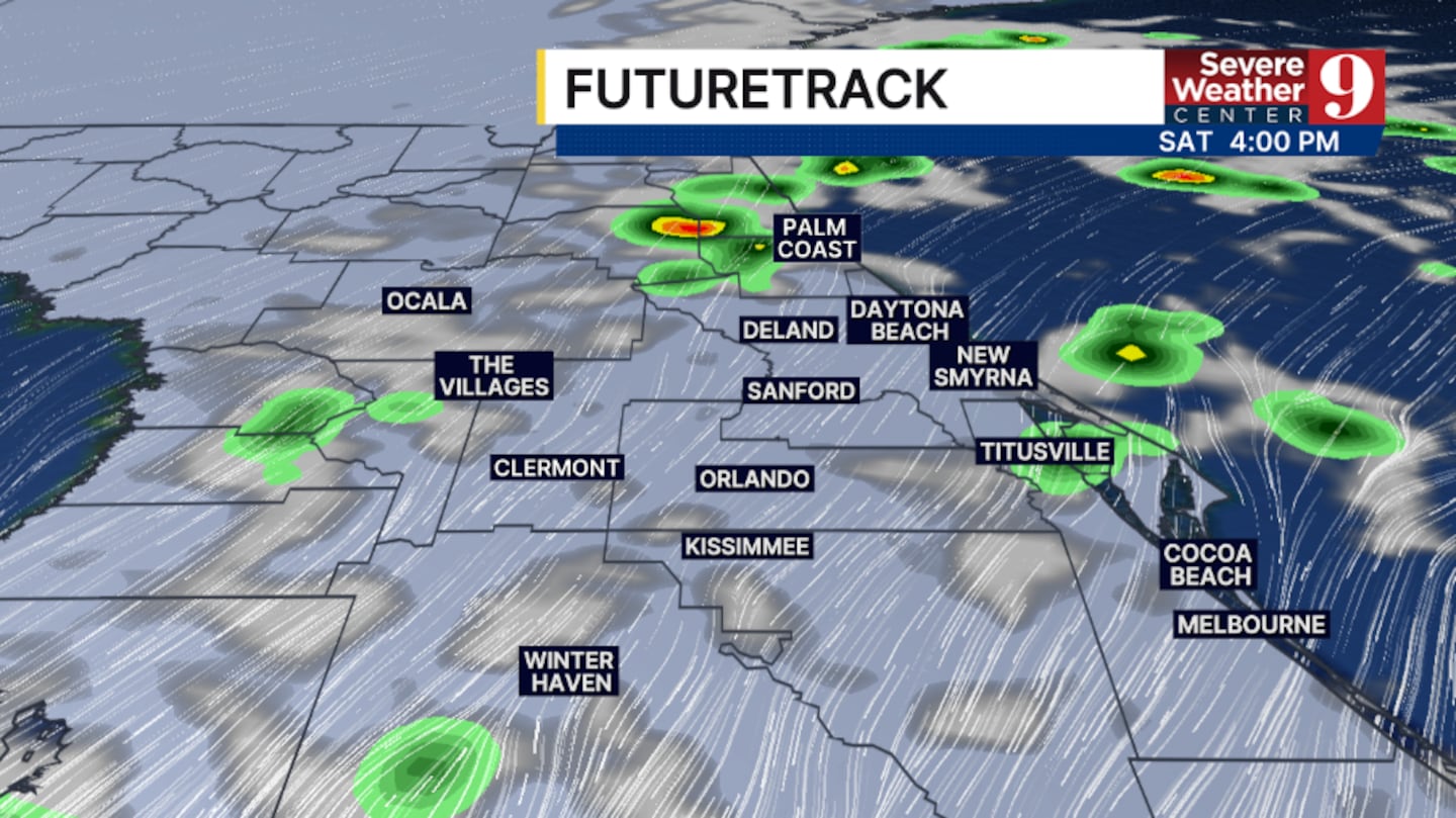
Friday night will remain quiet, with partly cloudy skies and dry conditions. Overnight lows will fall into the mid-60s.
Clouds will increase Saturday, with rain chances rising as the day progresses. Winds will also strengthen, while afternoon highs reach the low 80s.
Scattered showers are likely Saturday night into Sunday. Sunday’s highs will remain in the low 80s, with the strongest winds expected along the coast.
High surf and king tides raise coastal concerns
Coastal conditions will become a concern Sunday and continue into early next week.
The forecast includes winds reaching 30 to 45 mph, surf of 7 to 12 feet and dangerous rip currents.
Strong winds combined with incoming king tides will increase the threat of coastal flooding and beach erosion.
A forecast snapshot for 9 a.m. Sunday shows wind gusts reaching the upper 30s along parts of the Space Coast, compared with around 20 mph in Orlando.
Coastal impacts continue into next week
Gusty winds will persist Monday, with a few coastal showers possible and highs in the low 80s.
The chance for a few showers will continue Tuesday and Wednesday, along with coastal concerns. Afternoon temperatures will hold in the low 80s.
A few showers will remain possible later next week as winds finally begin to decrease across the region.
Follow the latest forecast and conditions on Channel 9’s weather page.
Click here to download our free news, weather and smart TV apps. And click here to stream Channel 9 Eyewitness News live.

©2026 Cox Media Group


