ORLANDO, Fla. — The tropics are beginning to show signs of life as we head into another active stretch of hurricane season, with two areas in the Atlantic being monitored for possible development this week.
The first area is a low-pressure system, designated Invest 95L, located about 400 miles from Bermuda.
Forecasters say the system has a 50% chance of developing and could briefly become a tropical depression over the next couple of days.
Despite the potential for some development, the system is expected to remain over the open Atlantic and stay well away from land.
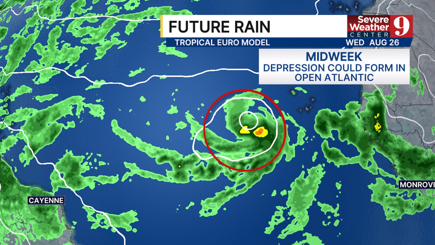
Meanwhile, a tropical wave is emerging from the coast of Africa today and is also being monitored for possible development.
The system has a 50% chance of becoming a tropical system over the next seven days.
The middle of the week could be the timeframe to watch for signs of development as the wave moves westward across the Atlantic.
However, conditions could become less favorable later in the week and into next weekend, when the system is expected to encounter a decent amount of wind shear as it approaches the Caribbean.
For now, neither system poses an immediate threat to land.
Still, with the tropics becoming more active, forecasters will continue to monitor both areas closely for any changes in organization or track.
Click here to download our free news, weather and smart TV apps. And click here to stream Channel 9 Eyewitness News live.

©2026 Cox Media Group


