
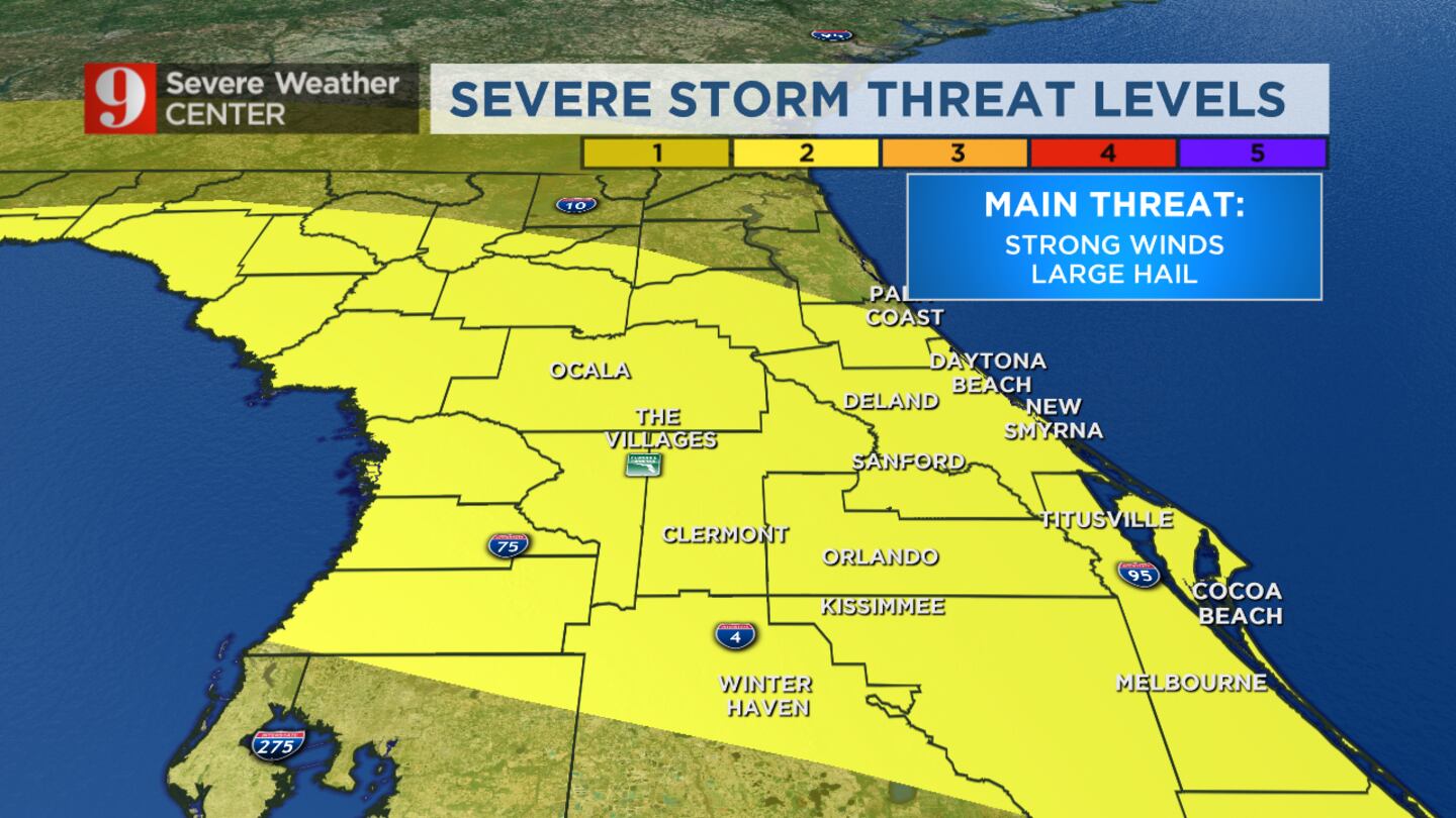
ORLANDO, Fla. — Severe thunderstorms could bring damaging winds and hail to Central Florida on Saturday morning, meteorologist Kassandra Crimi said.
She said a tornado cannot be ruled out but the possibility is low.
Read: $2,000 Per Month: What is the coronavirus Emergency Money Act and who would get the payments?
“(We) could see some strong to severe thunderstorms develop,” Crimi said. “Our biggest concerns will be strong wind gusts and large hail.”
The system is forecast to move through the region from west to east until 6 p.m., she said.
>>> CLICK HERE TO SEE LIVE DOPPLER 9 HD RADAR <<<
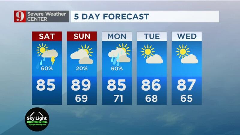
As far as temperatures go, highs will be in the low to mid 80s.
Crimi will track the storm live on Channel 9 Eyewitness News at Noon.
Click here to download the free WFTV weather app, and click here to see live radar and watch your five-day forecast below:
Right now: My office view ⛈☔️ pic.twitter.com/y0ke6OPMjT
— Kassandra Crimi (@KCrimiWFTV) April 18, 2020
Thunderstorms heading toward the Orlando Metro area. Should be over Orlando in around 30 min or less. pic.twitter.com/EyaXe91JmY
— Kassandra Crimi (@KCrimiWFTV) April 18, 2020
Heavy rain and lightning activity over Groveland, FL. Clermont, downpours just minutes away. pic.twitter.com/AYKZHtSgHq
— Kassandra Crimi (@KCrimiWFTV) April 18, 2020
Over 100 lightning strikes in the last 15 minutes... Hearing rumbles of thunder in Orlando metro area, as well as seeing some showers. pic.twitter.com/kBWOTe2ud9
— Kassandra Crimi (@KCrimiWFTV) April 18, 2020
Dry this morning, but later this afternoon showers and storms will push across Central FL. Some could be strong or severe.
— Kassandra Crimi (@KCrimiWFTV) April 18, 2020
Hazards: Strong Winds and Hail pic.twitter.com/HggjmBt3l8
© 2020 Cox Media Group


