
ORLANDO, Fla. — As we head into our second month of hurricane season, WFTV is keeping an eye on the tropics.
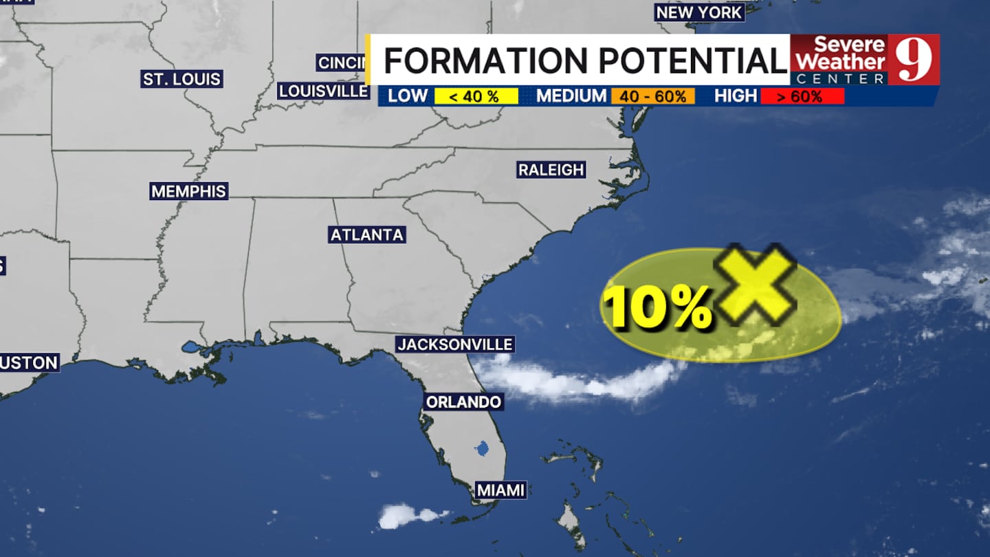
A point of interest continues to be an area of disorganized showers and storms in the Atlantic Ocean.
It’s an area of low pressure along a front sitting off the east coast of the southern United States.
There is currently limited potential for the area to further develop this week — only a 10% chance — according to meteorologist Kassandra Crimi.
While the area is struggling to develop, it will likely help keep moisture in place for the Southeast U.S.
Crimi said that means Central Florida’s rain chances will remain elevated through the end of the week and into the weekend.
Check back here and watch Eyewitness News for regular updates on tropical activity this hurricane season.
Click here to download our free news, weather and smart TV apps. And click here to stream Channel 9 Eyewitness News live.

©2026 Cox Media Group


