
CENTRAL FLORIDA — We continue to monitor an area of interest that could organize into a system early next week.
An area of low pressure is over the Bay of Campeche, producing disorganized showers and storms near the eastern coast of Mexico.
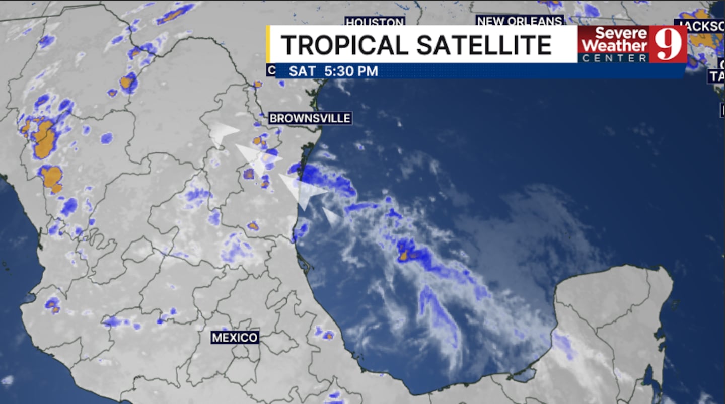
This complex is expected to move inland early Sunday, with any potential development in the short term.
However, some computer models indicate the system could move back into the northwestern Gulf early next week, giving it a window to potentially develop.
This currently has a 20% chance of development over the next 7 days.
Should it organize, it would likely hug the Texas and Louisiana coastline before moving inland.
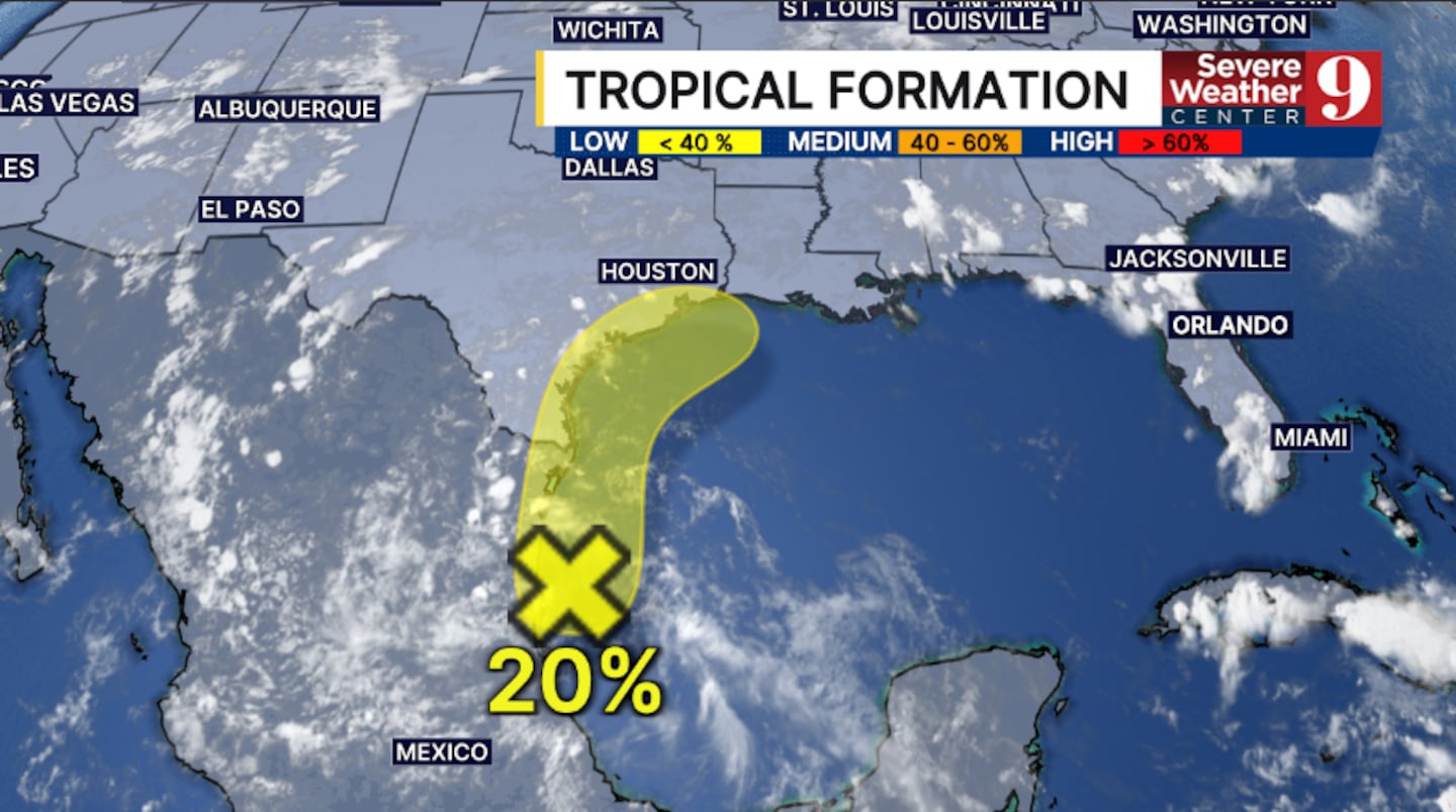
Regardless of development, this system will stay well west of Florida.
Stay with Severe Weather Center 9 for the latest on the tropics all season long.
Click here to download our free news, weather and smart TV apps. And click here to stream Channel 9 Eyewitness News live.

©2026 Cox Media Group


