ORLANDO, Fla. — Scattered storms with pockets of heavy rain and lightning have developed and are moving across Central Florida for the remainder of Tuesday afternoon.
Drivers can expect wet roadways with water collecting in low spots, as well as lightning, during their afternoon commute.
>>> CLICK HERE FOR LIVE RADAR <<<
Channel 9 meteorologist George Waldenberger said with the scattered nature of the rain, some areas may see an inch of rain, while others miss out. He’ll be tracking the storms LIVE on Channel 9 Eyewitness News starting at 4 p.m.
He said a few showers will linger in some neighborhoods into the first part of the evening.
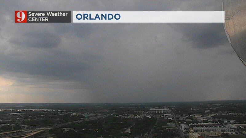
Storms are rolling into the I-4 Corridor now, stay safe on the roadways this afternoon. pic.twitter.com/bZrREcYMy0
— George Waldenberger (@GWaldenWFTV) May 11, 2021
READ: Tropical Depression One forms ahead of start of hurricane season
The weather is set to calm down over night and into Wednesday morning.
More heat is expected Wednesday afternoon and more storms as well.
Thursday will bring some cooler air and Waldenberger said our weather will dry out by the weekend.
Click here to download the WFTV weather app for live updates to your phone, and click here to stream weather coverage on the WFTV now app.
Click here to watch Eyewitness News for live updates.
Visit our hurricane section: EYE ON THE TROPICS
Visite la sección en español: Temporada de huracanes
Follow our Severe Weather team on Twitter for live updates: