
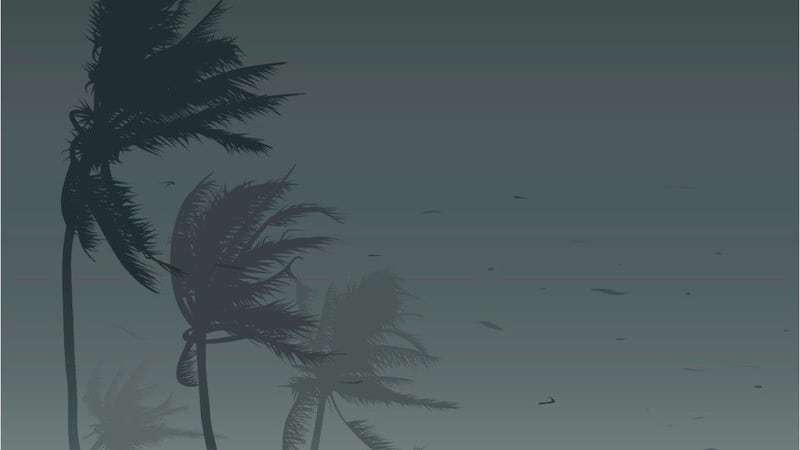
ORLANDO, Fla. — Storms moving through Central Florida on Monday afternoon spurred severe thunderstorm warnings as well as a tornado.
New Smyrna Beach Police reported that a tornado was spotted around 3 p.m. heading south/southeast.
>>> CLICK HERE FOR LIVE RADAR<<<
Police said there were reports of some tree damage near Sleepy Hollow and U.S. 1, but no other damage.
0 of 5


The storms triggered a severe thunderstorm warning through 3:15 p.m. for east Orange County, including parts of Bithlo, Christmas and Wedgefield. The storm could bring with it small hail and damaging winds, along with lightning.
Another severe thunderstorm warning was also issued for Osceola County. The main threat of these storms will be pockets of 60 mph wind gusts that could cause minor damage, especially around Brevard County.
Severe thunderstorm warning for E. Orange County, including parts of Bithlo, Christmas and Wedgefield. Watching for small hail and damaging winds, along with lightning. pic.twitter.com/wsv8g0fS8i
— George Waldenberger (@GWaldenWFTV) August 2, 2021
Temperatures will be slightly cooler due to the storms, with highs nearing 90.
Some areas could see one to three inches of rain.
Tonight, spotty showers will continue to move in.
Better chance of storms today, and they could be strong. Isolated severe storms possible too. Gusty winds. Lots of lightning. Tracking on 9 now! pic.twitter.com/RACAdiORdm
— Brian Shields, WFTV (@BrianWFTV) August 2, 2021
Visit our hurricane section: EYE ON THE TROPICS
Visite la sección en español: Temporada de huracanes
Follow our Severe Weather team on Twitter for live updates:
Click here to download the WFTV weather app for live updates to your phone, and click here to stream weather coverage on the WFTV now app.


