
ORLANDO, Fla. — >> CLICK HERE FOR LIVE DOPPLER 9 RADAR <<
Central Florida is expected to see an increased chance of storms as we head into the weekend. Thursday storms started during the morning hours and continued through the early afternoon. They moved fast to the northwest.
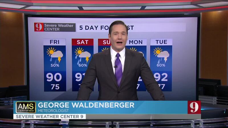
Expect a break from widespread coverage and only isolated storms will affect Central Florida during the evening hours. Low temperatures will drop to the mid to upper-70s.
Friday will remain mostly unstable, mainly in the morning and early afternoon hours. Not everyone will receive rain, but there will be some storms moving across Central Florida during those times. Lightning will be the main threat.
This enhanced shower activity is courtesy of the eighth tropical depression that formed over the Gulf of Mexico. The same system that has brought us rain the past couple of days, will continue to intensify as it approaches Texas.
Visit our hurricane section: EYE ON THE TROPICS
Visite la sección en español: Temporada de huracanes
Highs on Thursday will reach between 88 and 91 degrees. It will still be very muggy.
Send us your pictures! PHOTOS: Comet Neowise seen by Central Florida residents
Read: Tropical Storm Gonzalo is born over central Atlantic; entering the Caribbean this weekend
Entérese de todo lo que ocurre en el trópico en nuestra pagina en español.
Follow our Severe Weather team on Twitter for live updates:
- Chief meteorologist Tom Terry
- Brian Shields
- Irene Sans
- Kassandra Crimi
- George Waldenberger
- Rusty McCranie
© 2020 Cox Media Group


