ORLANDO, Fla. — There’s one last push of storms set to move through Central Florida Tuesday afternoon before conditions dry out.
Over the past three days, Channel 9 meteorologist George Waldenberger said some metro Orlando neighborhoods have already reported rain totals of more than 6 inches.
>>> SEE LIVE DOPPLER RADAR <<<
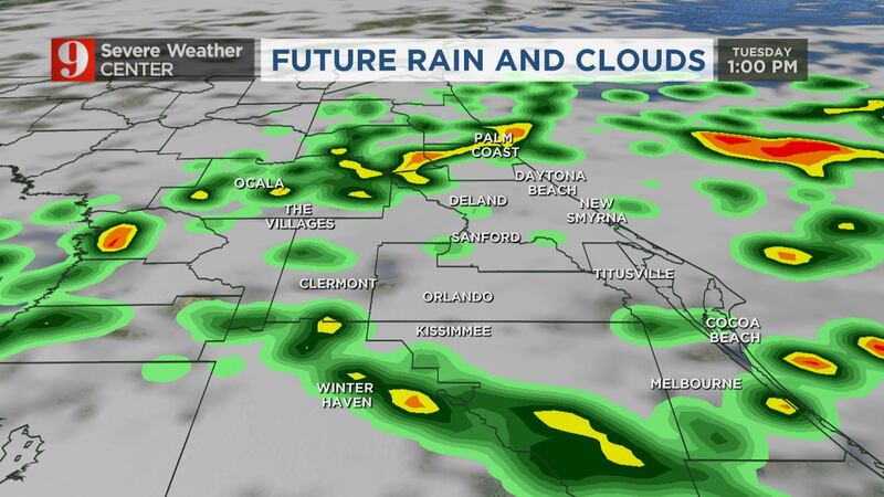
He said the rain will be gradually ending this afternoon in most locations but may linger a little longer in some parts of Brevard and Osceola counties.
Waldenberger said the rain should move off the east coast by around 5:30 p.m.
We set a record with so much rain falling today! Still falling but almost done. pic.twitter.com/zpuV9n6tI5
— George Waldenberger (@GWaldenWFTV) April 20, 2021
The rain started to move into Central Florida just before 8 a.m., with stronger storms moving through Orange and Seminole counties.
A severe thunderstorm warning was in effect for Orange and Seminole counties. It expired at 8:15 a.m.
SEVERE THUNDERSTORM WARNING for parts of ORANGE & SEMINOLE: Gusty winds, and large hail possible. Please seek shelter as this passes. Bad timing - but I'd rather you be safe, than attempt a commute in this mess. Live on TV 27 now. pic.twitter.com/Or1EJtXeRV
— Brian Shields, WFTV (@BrianWFTV) April 20, 2021
A Channel 9 viewer reported seeing pea-sized hail in Leesburg.
Hail from Leesburg, Florida... pic.twitter.com/QecHr01bH2
— Brian Shields, WFTV (@BrianWFTV) April 20, 2021
Lots of rain/storms heading our way, especially by midday. I'm tracking rain totals, flooding, severe threat, changes soon... On 9 now. pic.twitter.com/hlzwudbbDP
— Brian Shields, WFTV (@BrianWFTV) April 20, 2021
Temperatures won’t climb much due to the cloud cover. Daytime highs will reach the low- to mid 70s.
WATCH: WWII-era plane makes emergency water landing at Cocoa Beach Air Show
Drier weather will return Wednesday.
Watch your 7-day forecast below:
Click here to download the WFTV weather app for live updates to your phone, and click here to stream weather coverage on the WFTV now app.
Click here to watch Eyewitness News for live updates.
Visit our hurricane section: EYE ON THE TROPICS
Visite la sección en español: Temporada de huracanes
Follow our Severe Weather team on Twitter for live updates:
Click here to download the free WFTV news and weather apps, and click here to watch the latest news on your Smart TV.


