ORLANDO, Fla. — Update:
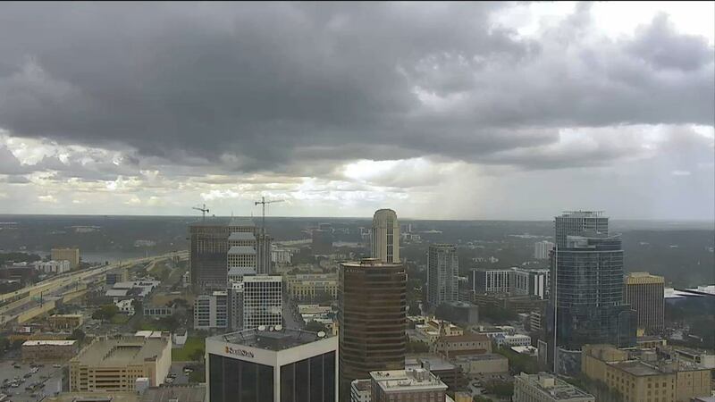
Scattered thunderstorms were marching through metro Orlando on Monday afternoon and will remain inland throughout the early evening.
Chief meteorologist Tom Terry is tracking the storms in Severe Weather Center 9. Click here to stream live coverage on Channel 9 Eyewitness News.
Tuesday will be another rainy day, with scattered afternoon storms tapering off by the early evening.
>>> STREAM CHANNEL 9 EYEWITNESS NEWS LIVE <<<
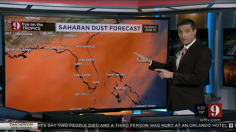
Drier air, aided by this season’s Saharan Dust Layer, will lower rain chances from Wednesday through Friday, allowing temperatures to increase to the upper 90s.
A normal summer afternoon storm pattern will return for the weekend.
Tomorrow brings another round of scattered storms for most inland areas, but a drier and hotter pattern develops WED-FRI. pic.twitter.com/xNuM63l33f
— George Waldenberger (@GWaldenWFTV) August 8, 2022
Eye on the Tropics
A tropical wave that moved off the west coast of Africa is generating showers and storms near the Cabo Verde Islands.
Conditions still appear conducive for a tropical depression or a named storm to develop later this week.
The National Hurricane Center said there is a 40% chance that this will happen between by Saturday.
>>> DOWNLOAD THE FREE WEATHER APP <<<
Click here to download the free WFTV news and weather apps, click here to download the WFTV Now app for your smart TV and click here to stream Channel 9 Eyewitness News live.
Conducive conditions for a tropical depression or storm to form over the Tropical Atlantic this week...still, we're just monitoring for now. We'll keep you posted. pic.twitter.com/EQe6SLUivr
— George Waldenberger (@GWaldenWFTV) August 7, 2022
Previous story:
Grab an umbrella -- you’re likely to need it at some point today.
Monday will be active with scattered showers and storms, mainly in the afternoon.
READ: Orange County deputies investigate a shooting along Old Cheney Highway east of Colonial Drive
There’s a 60% chance of rain.
Highs should top out at 93 degrees in Central Florida.
Rain is expected to return on Tuesday before things begin to dry out.
That’s because Saharan dust that’s moving back into the area will take hold by mid-week, according to meteorologist Brian Shields.
READ: Early voting for the primary election starts Monday in Central Florida
We should begin to notice its impacts on Wednesday as it dries things out and ushers in very hot weather.
Lots of dust moving in tomorrow through the end of the week. Mid-week, drier and A LOT hotter. Lower air quality. Tracking right now on Channel 9. pic.twitter.com/QmhkjpWD4A
— Brian Shields, WFTV (@BrianWFTV) August 8, 2022
The trend of lower rain chances and heat should linger late into the week, thanks to the Saharan dust.
High temps could climb into the mid-to-upper 90s on those days.
READ: Manatee ‘chases’ alligator as both swim in Florida state park
>>> WATCH LIVE RADAR HERE <<<
Looking at the tropics, Shields said there’s one disturbance off the coast of Africa that could develop into the next named story, but early indications are that it will remain at sea.
Follow our Severe Weather team on Twitter for live updates:
Visit our hurricane section: EYE ON THE TROPICS


