
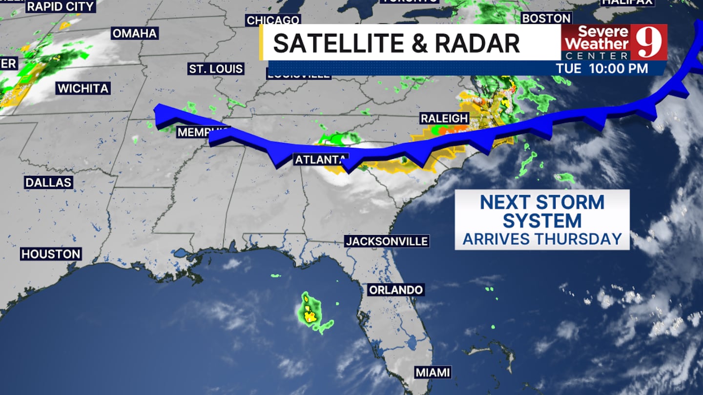
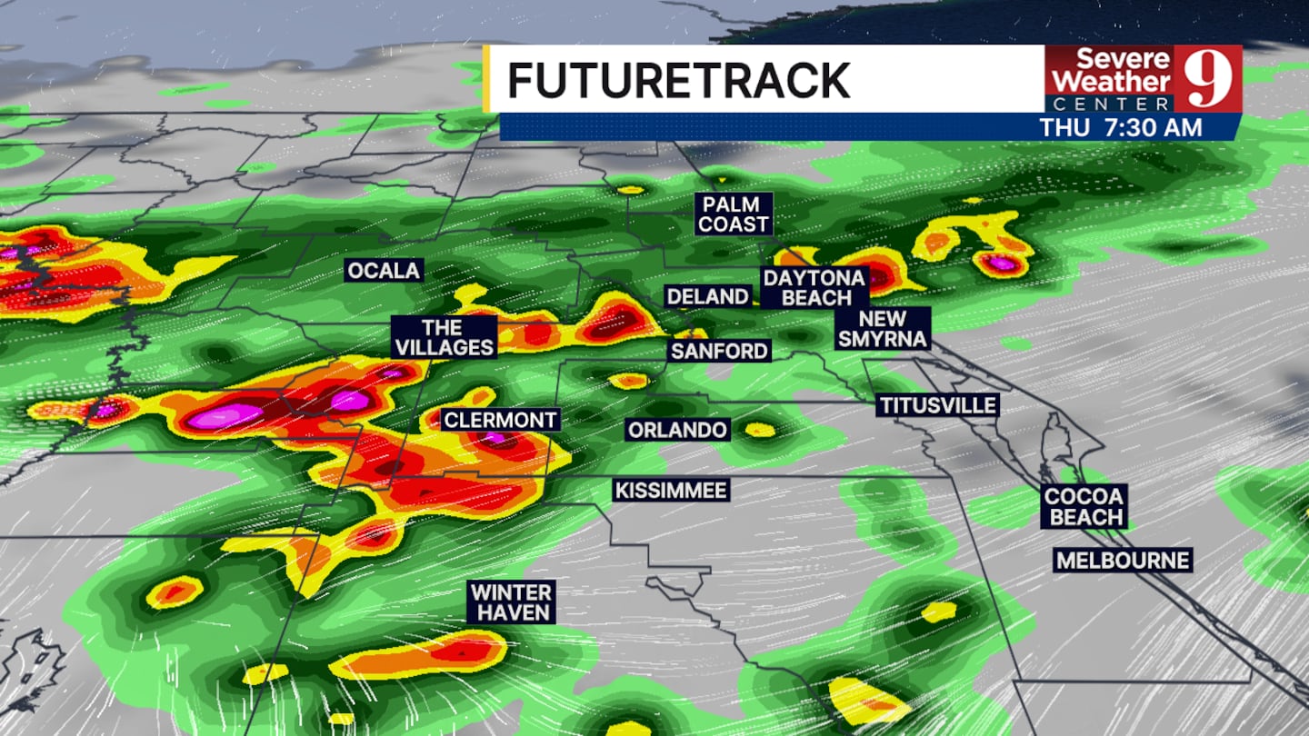
ORLANDO, Fla. — More weather is on the way Thursday as a potent storm system in the mid-Atlantic moves south toward north Florida.
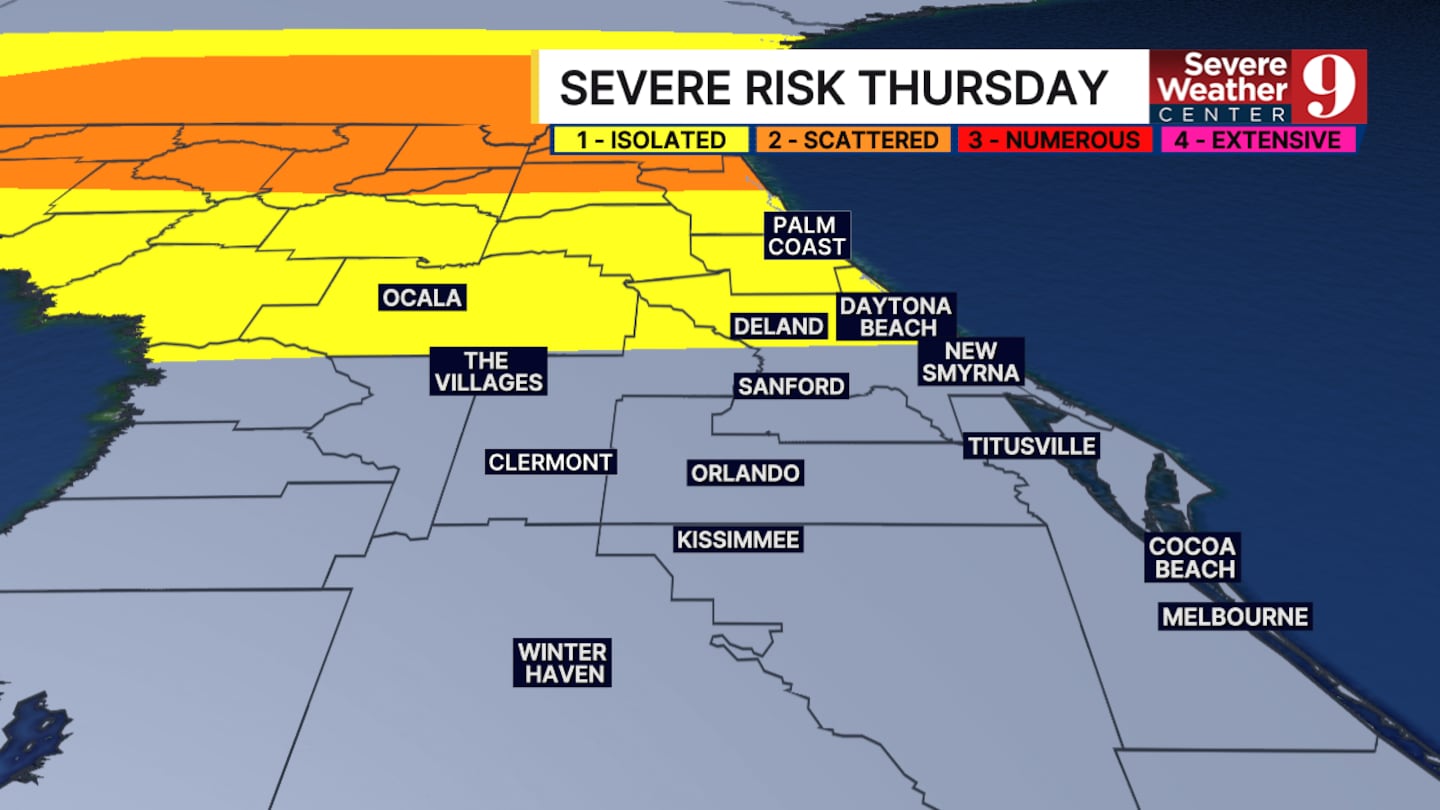
A Level 2 (scattered) risk of severe storms is forecast along the Interstate 10 corridor, with heavy storms also possible locally.
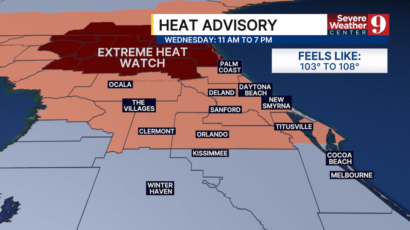
Before the storms arrive, Wednesday will bring another hot day. A heat advisory is in effect for the area, and an extreme heat watch has been issued for northeast Florida.
Click here to download our free news, weather and smart TV apps. And click here to stream Channel 9 Eyewitness News live.

©2026 Cox Media Group


