
ORLANDO, Fla. — Temperatures will stay in the 80s for one more day before we cool off tomorrow as a front moves through the area.
A major impact we will see with this front across central Florida will be strong winds. Consistent wind speeds will reach 15 to 20 mph, while wind gusts could be as high as 30 mph in Orlando and close to 40 along our coast.
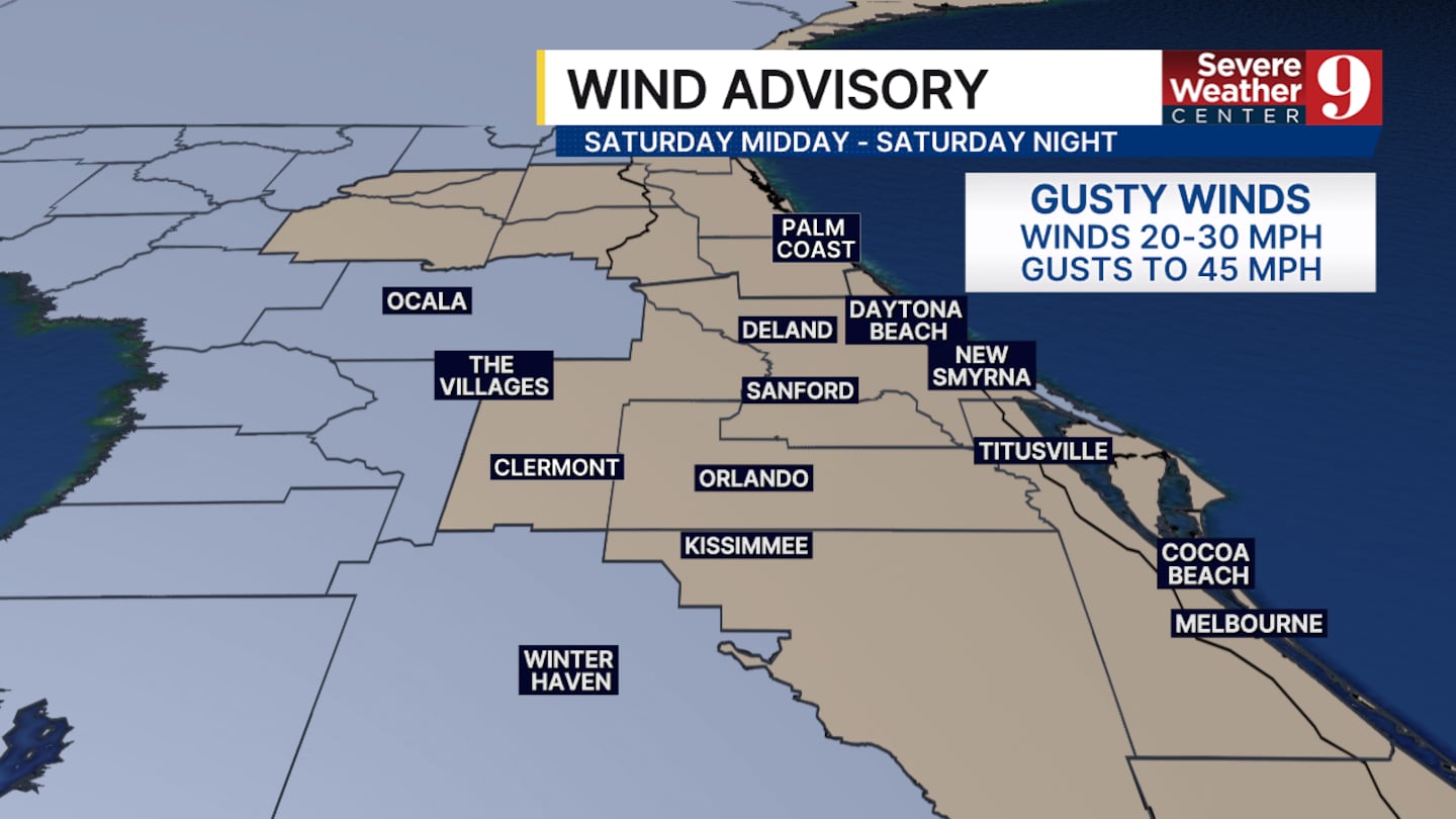
This has prompted the National Weather Service to issue a wind advisory for portions of central Florida, including Orlando.
We will also see some isolated rain chances develop towards the end of the afternoon and last through the overnight hours. Widespread rain is not expected and will not cause any significant rainfall totals.
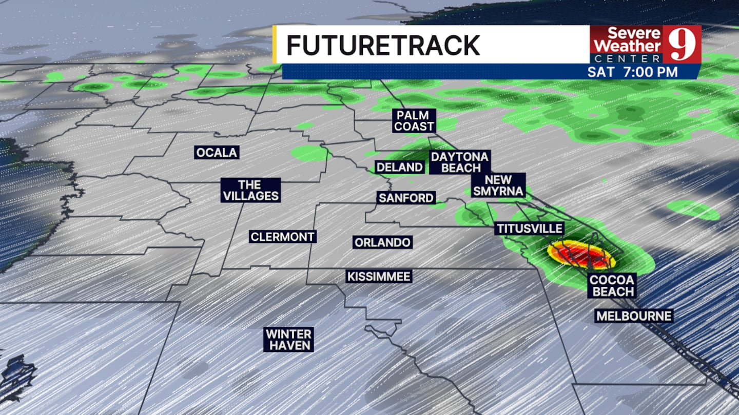
Depending on the speed of the cold front, a few showers could persist into Sunday and Monday.
A slight temperature drop is expected tomorrow, but we will rebound to the 80s again by Monday and stay warm through the upcoming week.
Click here to download our free news, weather and smart TV apps. And click here to stream Channel 9 Eyewitness News live.

©2026 Cox Media Group


