
CENTRAL FLA. — Tropical Storm Gonzalo has become post-tropical, Fay remains a tropical depression in the open Atlantic, and a new system is possible later next week.
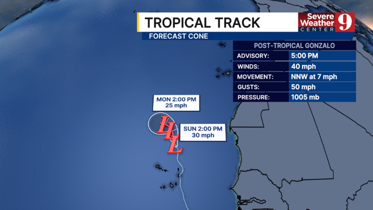
The final 5 pm advisory from the National Hurricane Center on Gonzalo had winds of 40 mph.
The bulk of the thunderstorm activity has become removed from Gonzalo’s center, giving the system a post-tropical designation in the far eastern Atlantic.
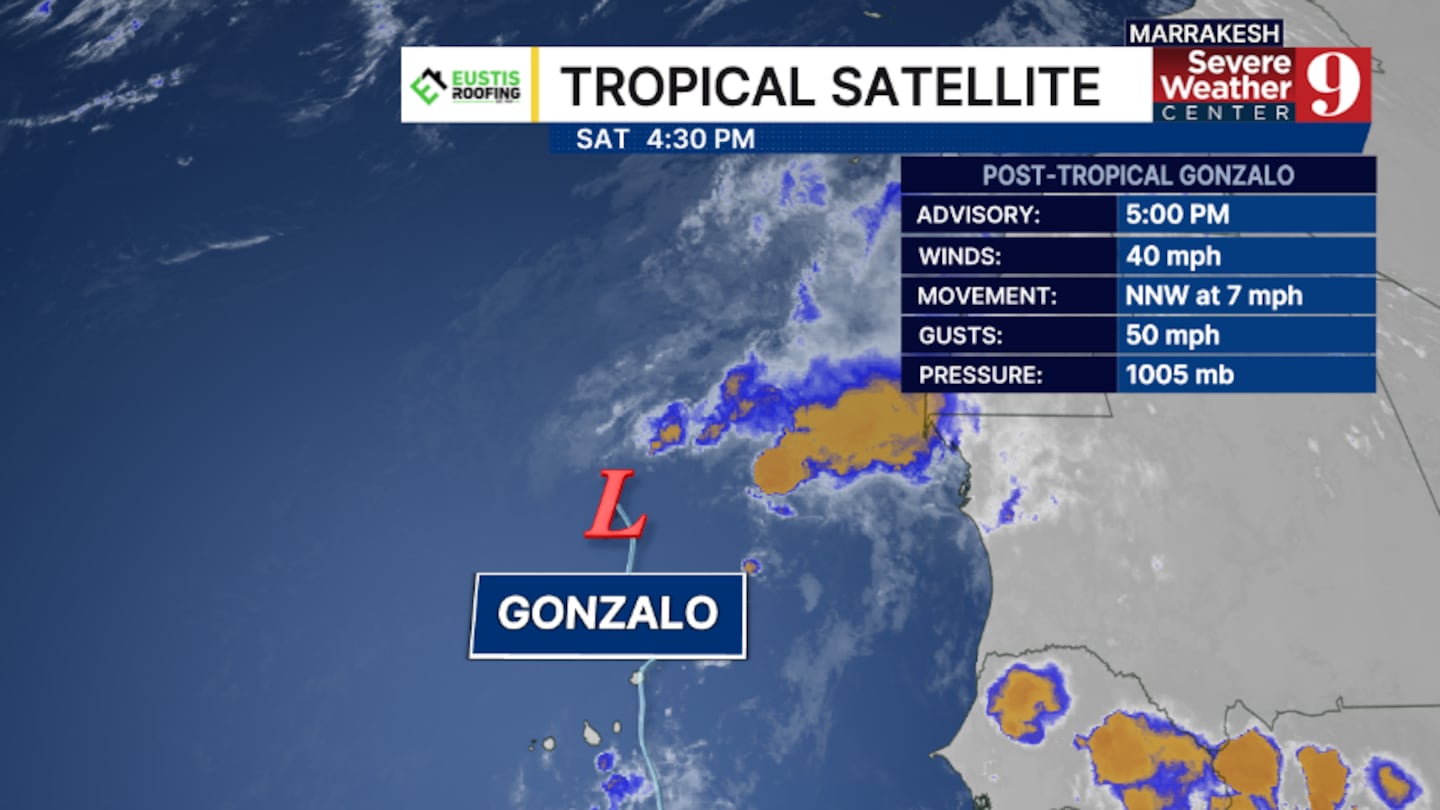
The remnants of Gonzalo will continue to drift northward, paralleling the west coast of Africa.
Gonzalo is the seventh-named storm of the Atlantic hurricane season and formed on Thursday evening.
In the open Atlantic, Tropical Storm Fay remains a tropical depression in the open Atlantic.
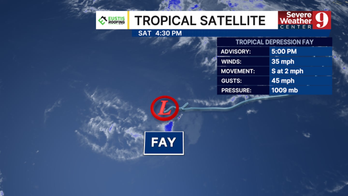
The 5 pm advisory from the National Hurricane Center had winds to 35 mph.
The system is now expected to remain a depression over the next several days.
Fay is moving southward and is expected to continue in that direction.
The storm will remain out to sea in the open Atlantic and will likely be a remnant low by the middle of next week.
Fay formed early Sunday morning and is the sixth named storm of the season.
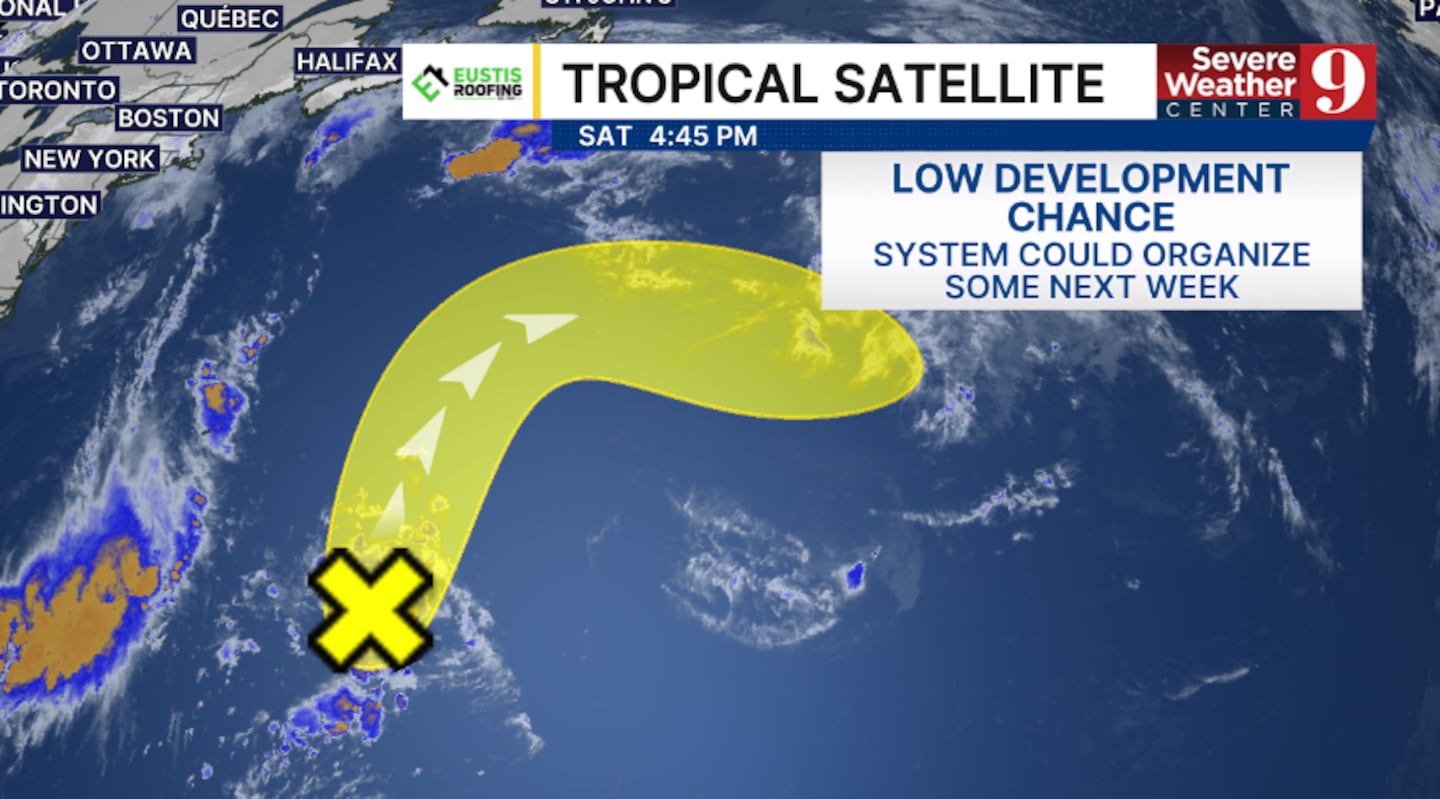
Elsewhere, a new area of interest has developed in the open Atlantic.
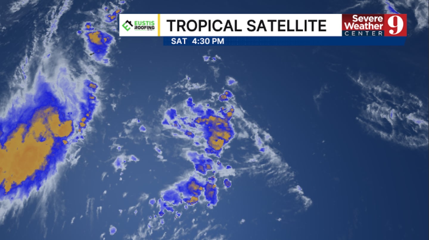
This area is located southeast of Bermuda and could organize some during the early and middle part of next week.
The National Hurricane Center is giving this system a 20% chance of development as it moves northward.
None of these complexes will impact Florida or the United States.
Stay with Severe Weather Center 9 for the latest on the tropics all season long.
Click here to download our free news, weather and smart TV apps. And click here to stream Channel 9 Eyewitness News live.

©2026 Cox Media Group


