
ORLANDO, Fla. — It was a warm Thursday across Central Florida, and more warmth is ahead to close out the work week.
The scattered showers and storms in northern areas will diminish this evening, with quiet conditions overnight. Morning lows will be in the low 70s.

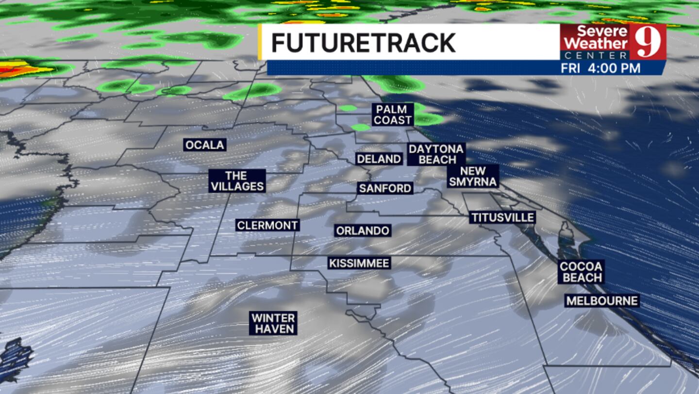
More warmth is ahead for Friday. We will again see a blend of sun and clouds during the day, with highs in the low 90s. Scattered showers and storms will again be possible north of Orlando.
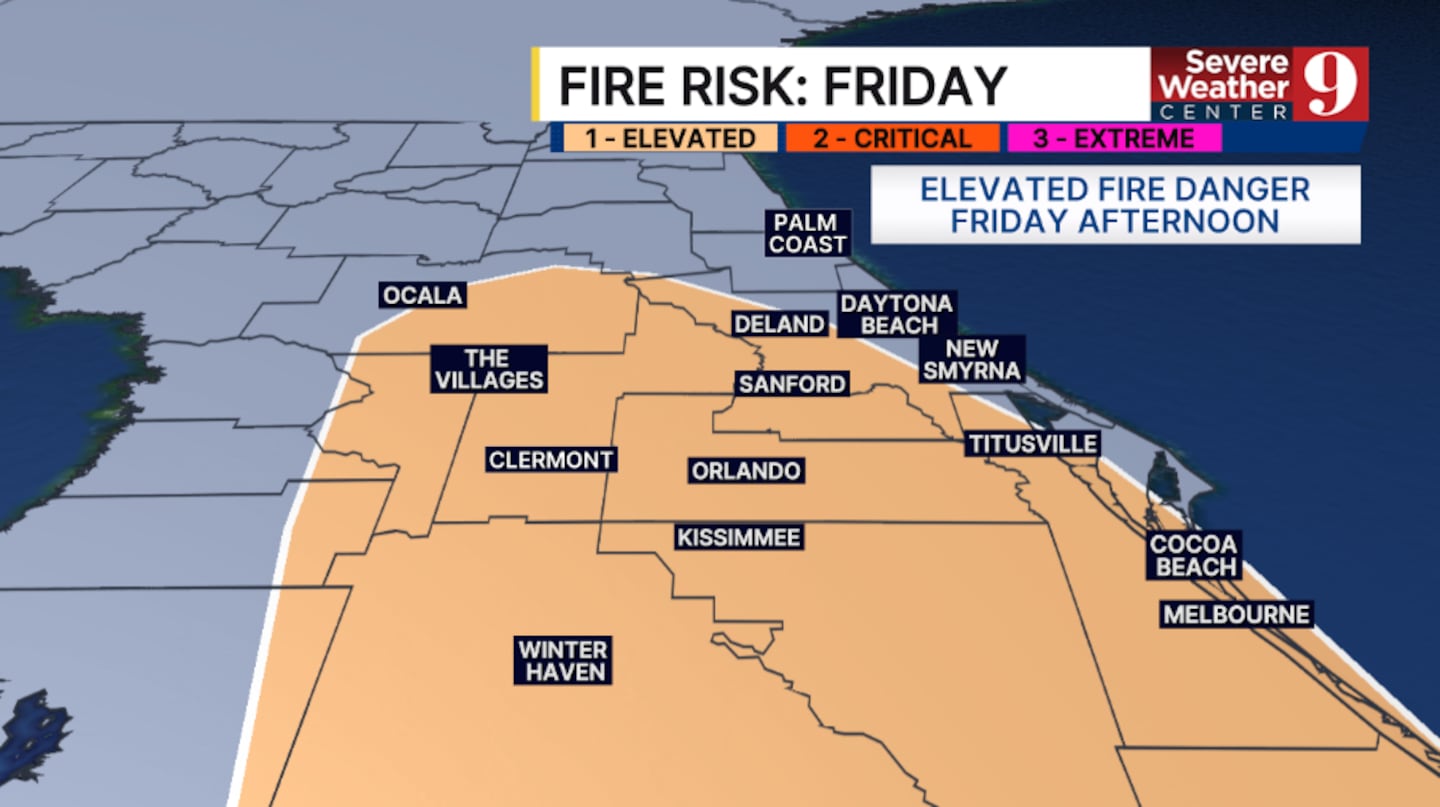
The fire concerns will continue for Friday, with much of the area expected to have an elevated wildfire risk.
We have Weather On The Way for the weekend as a cold front pushes into the area.
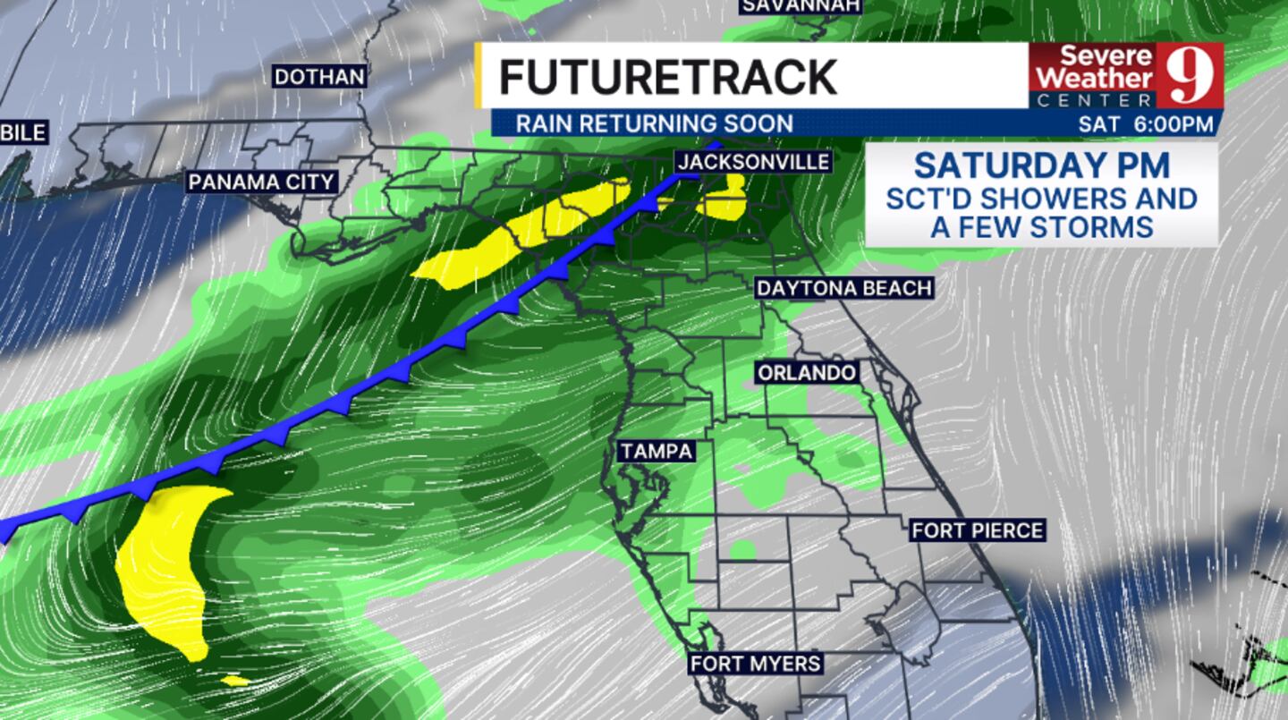
Clouds will increase on Saturday with strong southwesterly winds. Scattered showers and storms will move in during the PM hours, and some storms may be strong. Highs for Saturday will again climb into the low 90s.
Our best chance for rain will be Saturday night into early Sunday, as the cold front pushes through the area. It will be cooler to close out the weekend, with temps only in the 70s.
Quieter weather returns to start next week, with temps slowly rising into the mid 80s by next Tuesday.
Click here to download our free news, weather and smart TV apps. And click here to stream Channel 9 Eyewitness News live.

©2026 Cox Media Group


