
ORLANDO, Fla. — A cold front is moving through Central Florida today, bringing strong winds and a brief warm-up, followed by a drop in temperatures tomorrow.
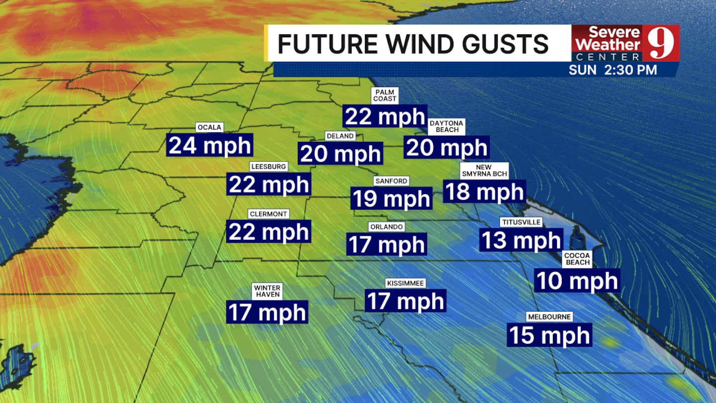
Wind gusts could reach 25 to 35 mph today, with the strongest winds expected overnight before they begin to decrease tomorrow afternoon. Temperatures today may reach close to 80°, marking the warmest day in recent weeks, before falling to the mid-60s on Monday and upper-40s on Tuesday morning.

No widespread rain is expected around central Florida, though a few passing showers may occur in southern Brevard County this morning. Any rain that does fall is expected to be light, ranging from drizzle to light showers.
Overall, temperatures are expected to remain above average for the next week, leading up to Christmas. Although rain chances could return later this week, no significant downpours are anticipated.
As central Florida braces for the cold front, residents can expect a brief warm-up followed by cooler temperatures and strong winds, with conditions remaining above average through the holiday season.
Temperatures today may reach close to 80°, marking the warmest day in recent weeks, before falling to the mid-60s on Monday and upper-40s on Tuesday morning.
Click here to download our free news, weather and smart TV apps. And click here to stream Channel 9 Eyewitness News live.

©2025 Cox Media Group


