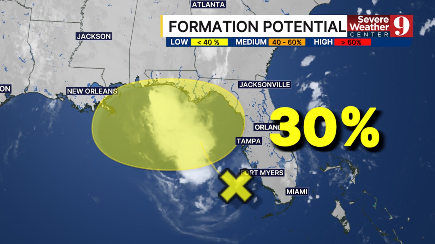
CENTRAL FLORIDA — Central Florida is continuing to see impacts today from the disorganized area of storms in the eastern Gulf.
This area has not become a tropical low; however, it has a 30% chance of developing over the next 3 to 5 days.
We are tracking rain chances starting this afternoon with isolated thunderstorms and a few pockets of heavy rain. Better rain chances will start to build in the early evening after daytime heating, with a surge of moisture expected.
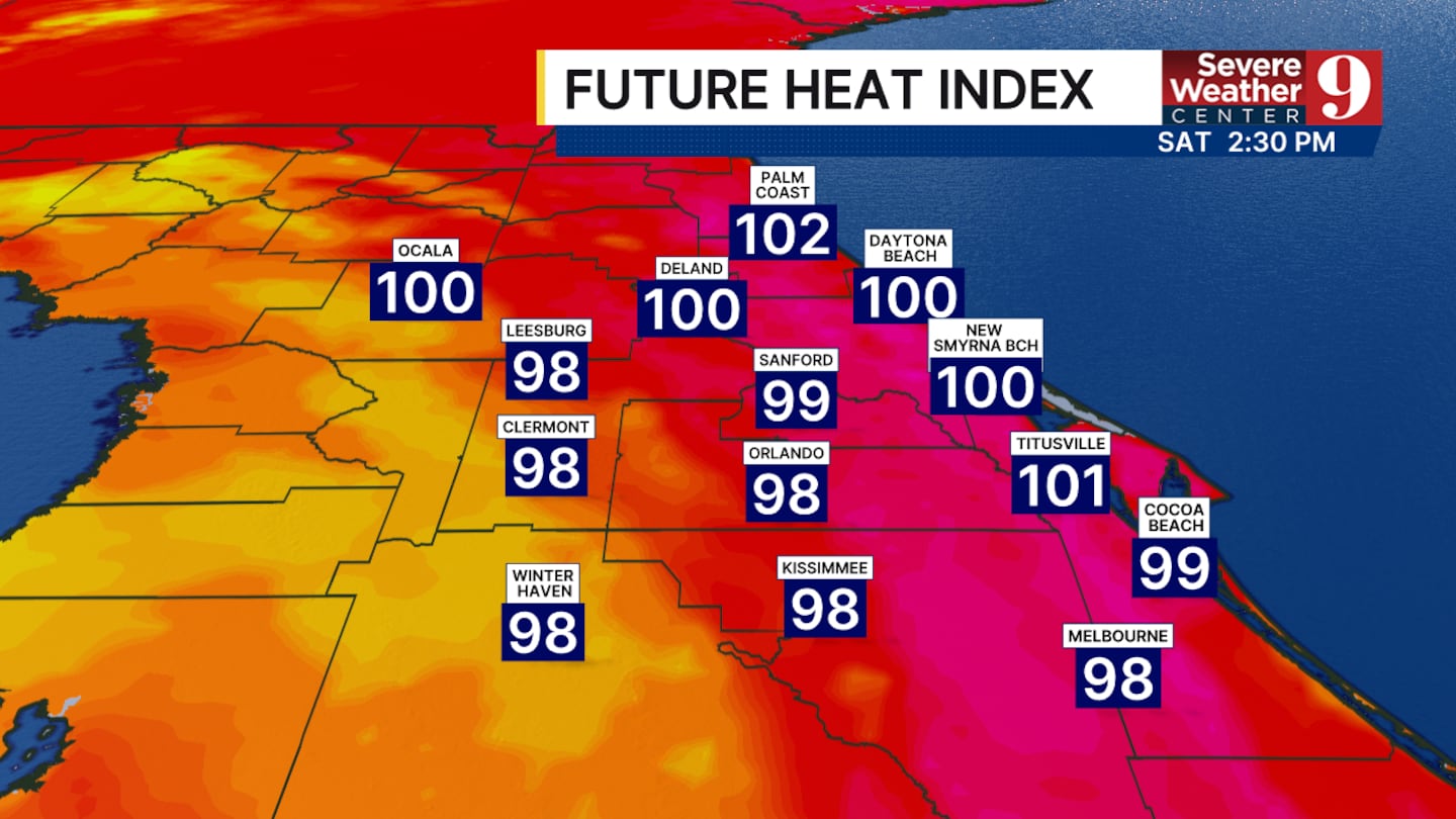
Temperatures will be held in check with highs in the mid-90s. The heat index will still reach the upper 90s for areas like Orlando, but could still reach the triple digits along the Atlantic coast.
The rain chances over the next few days will be heavily determined by what happens in the Gulf. Confidence will remain low until a true tropical low forms or dissipates.
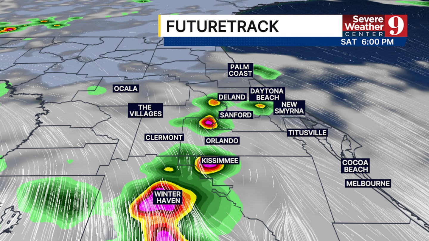
If it forms, rain chances in central Florida will likely decrease as moisture pushes west. If the low does not form, the rain chances in central Florida will hold steady.
Click here to download our free news, weather and smart TV apps. And click here to stream Channel 9 Eyewitness News live.

©2026 Cox Media Group


