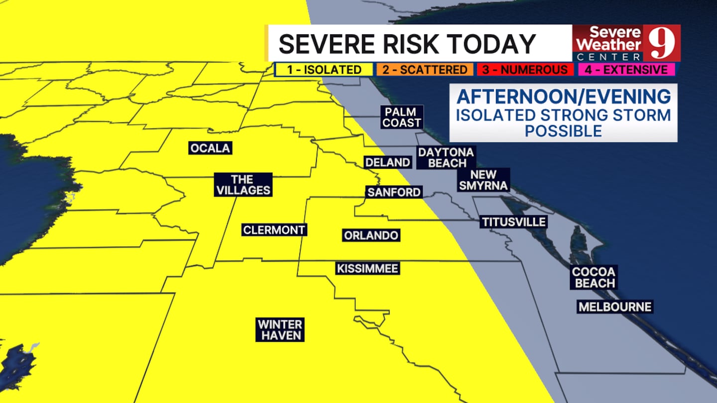
ORLANDO, Fla. — Temperatures will stay warm and humid throughout Sunday. Highs will once again reach the upper 80s with a slight heat index.
Another round of storms is also in the forecast for this afternoon and this evening. We are starting to see the sea breeze effect in action. This means that stronger winds will build off the Gulf and off the Atlantic before colliding over central Florida.
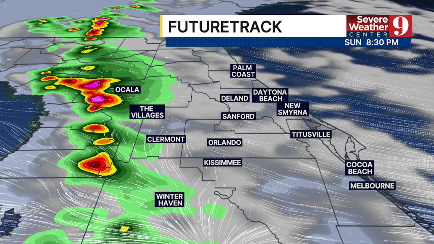
Today, this collision is most likely to occur over Sumter and Marion counties, giving them the best chance of rain in, the late afternoon and early evening.
Our main threats will continue to be wind gusts up to 50mph, pockets of heavy rain and frequent lightning.
Today, this collision is most likely to occur over Sumter and Marion counties, giving them the best chance of rain in
Thunderstorm chances will stay in the forecast each day this upcoming week, with our best chances coming on Friday and Saturday.
Afternoon high temperatures will be largely unchanged as we enter a more summer-like pattern in Florida. Expect the upper 80s and lower 90s each day for the next couple weeks.
Click here to download our free news, weather and smart TV apps. And click here to stream Channel 9 Eyewitness News live.

©2026 Cox Media Group


