ORLANDO, Fla. — The tropics continue to ignite across the Atlantic. Not only we are coming onto the peak of hurricane season, where historically 84% of hurricanes have developed since 1950, but also conditions and weather patterns are favorable for storms to ramp up during the next month or so.
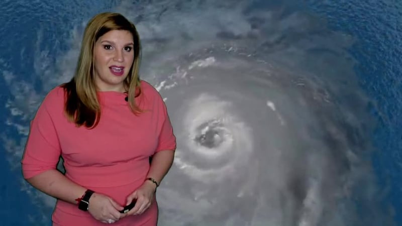
Over the Atlantic, we are monitoring three tropical waves. The first wave labeled Invest 97L is located just south of Hispaniola. It continues to be very disorganized but has an 80% chance of formation during the next five days. Overall, this wave will continue to travel west-northwest and could enter the Gulf of Mexico by this weekend, as a tropical depression.
¡Esta nota en español! Temporada de huracanes: ¡Vamos cuesta arriba! Vigilamos a 3 ondas tropicales en el trópico
Read more: Hurricane Season 2020: How are they named? Who names them? Why? When? Why they retire names?
Visit our hurricane section: EYE ON THE TROPICS
The next wave is located close to 1000 miles east of the lesser Antilles. Labeled Invest 98L, this wave has a higher chance for formation in the short term, 90% within the next two days. This wave has become a little bit better organized during the evening on Tuesday and Wednesday morning. it is likely that this will become the next name system of this hurricane season. If it does the next name on the list is Laura. Most model forecast hint for this wave to reach tropical storm status within the next 24 to 36 hours and then by the weekend it could be a strong tropical storm. Intensity models are not in great agreement on the strength of this system, confidence is low on intensity levels.
Once this system has a better-defined center of circulation, we can expect the models to get a better grasp of its possible trajectory. As of now with no low-level center of circulation, it is rough for models to get a good sense of agreement. Although there is high confidence that this system will move west very slowly and be somewhere in the Eastern Caribbean or just north of the Eastern Caribbean by the weekend.
Do you know the difference? What do they mean? Disturbance, depressions, tropical, subtropical storms, hurricanes
The third tropical wave is still over Africa. It seems to be a vigorous tropical wave, that could have some development next week. We have plenty of time to watch this wave and how the current setup could influence its outcome.
We will continue to monitor the tropics very closely and bring you the latest on our newscast, wftv.com, and on our free WFTV Weather app, tune in or log on for the most reliable information.
Visite la sección en español: Temporada de huracanes
Watch: How does a tropical cyclone form?
DOWNLOAD OUR FREE WFTV WEATHER APP TO RECEIVE ALERTS
>> CLICK HERE FOR LIVE DOPPLER 9 RADAR <<
#Hurricane Season 2020: How are they named? Who names them? Why? When? Why they retire names?
— Irene Sans (@IreneSans) May 8, 2020
And why hasn't #Dorian been retired?
Read more about this here: https://t.co/pfrv56dL9K pic.twitter.com/BPJJbU7I41
DOWNLOAD OUR FREE WFTV WEATHER APP TO RECEIVE ALERTS
Entérese del pronóstico del tiempo, en español, por nuestra meteoróloga Irene Sans
Follow our Severe Weather team on Twitter for live updates:
- Chief meteorologist Tom Terry
- Brian Shields
- Irene Sans
- Kassandra Crimi
- George Waldenberger
- Rusty McCranie
Cox Media Group


