CENTRAL FLORIDA — Scattered thunderstorms remain in the forecast for Central Florida late this afternoon and evening.
Unlike Saturday, they are more likely to happen in areas such as Orlando, Sanford, DeLand, and Kissimmee.
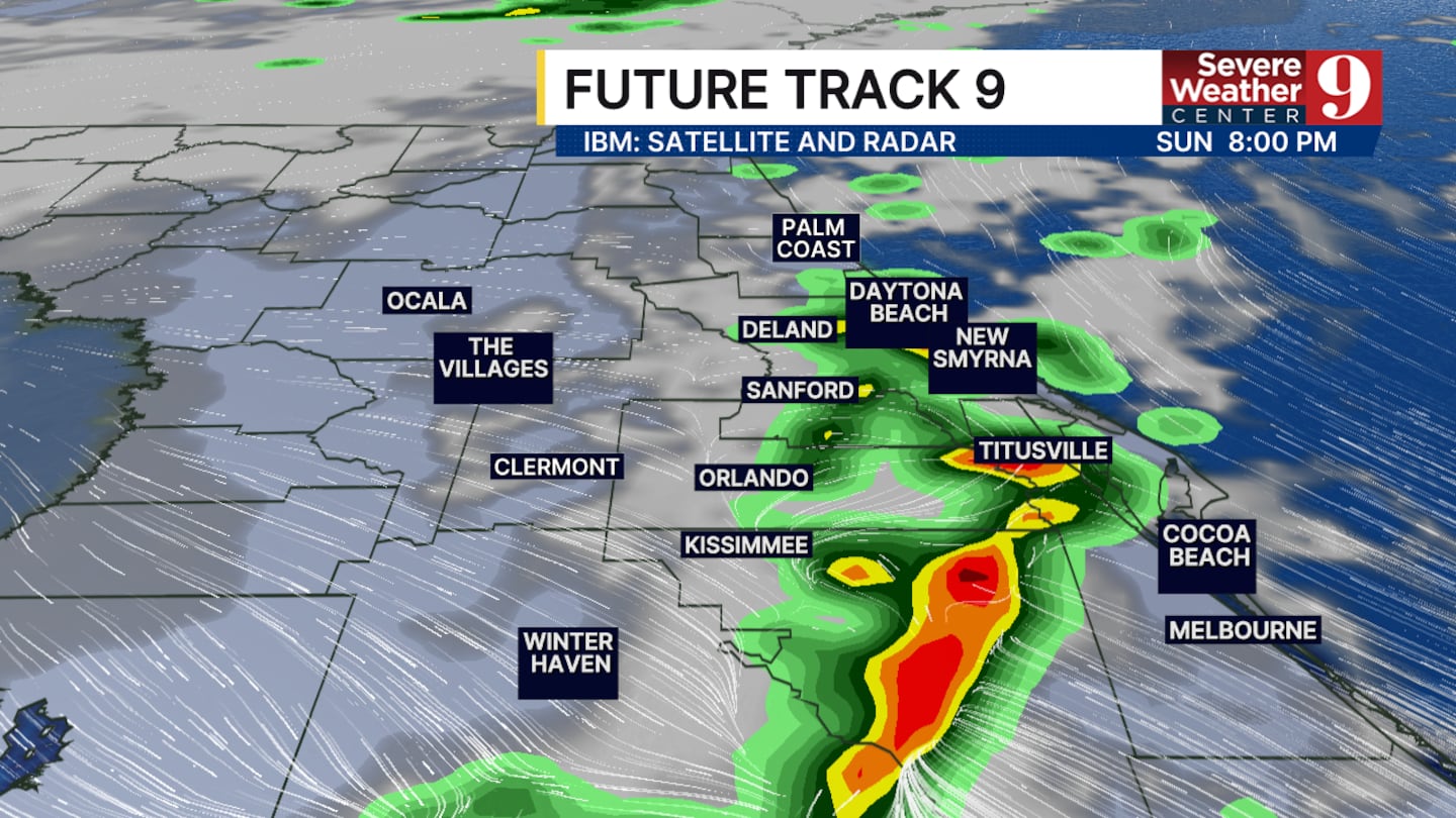
Severe weather is not expected; however, a few thunderstorms could bring heavy rain, wind gusts up to 35 mph, and some lightning.
Rain totals will mostly stay under a quarter of an inch. If a stronger storm develops, higher amounts are possible.
High temperatures will continue to rise through the entire area. We will have a high temperature in the upper 80s today and we will be expecting numbers like that through the end of the work week.
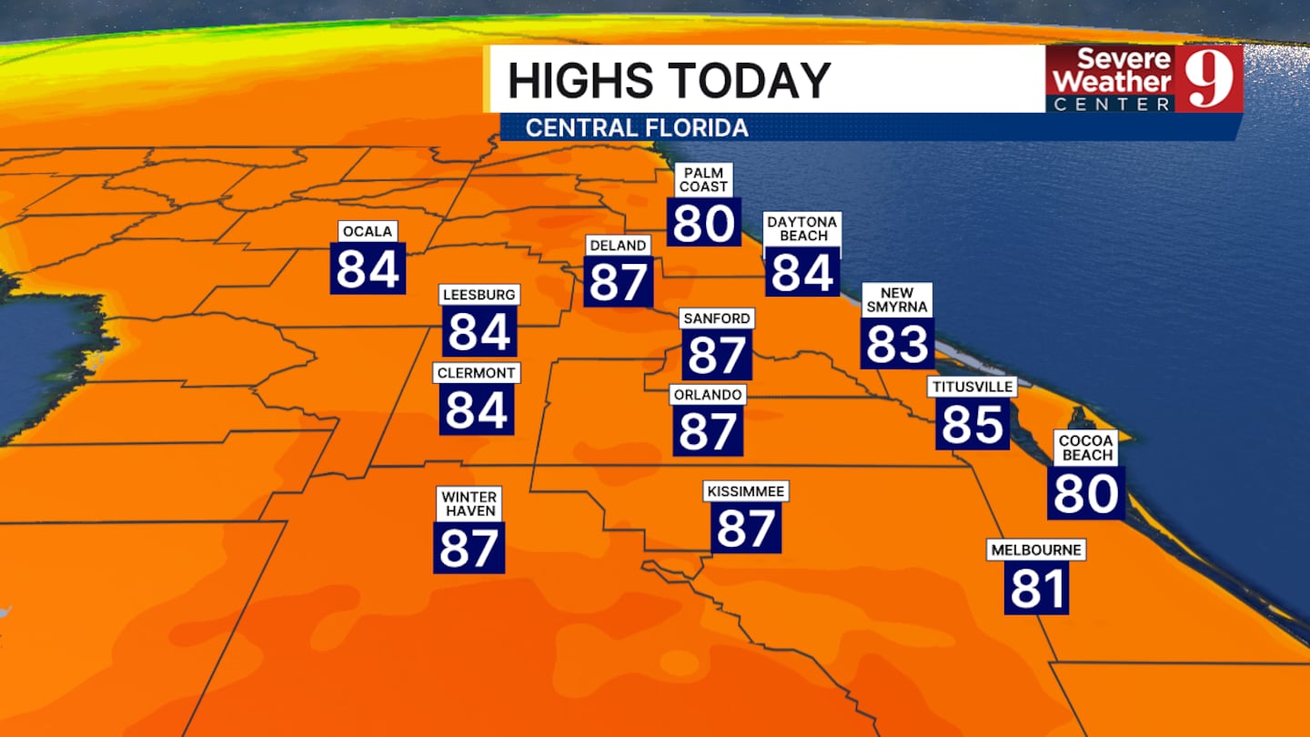
This means record-breaking highs will be mainly possible from Monday through Wednesday.
A cold front will start to cool us down on Thursday and will increase rain chances.

Click here to download our free news, weather and smart TV apps. And click here to stream Channel 9 Eyewitness News live.

©2026 Cox Media Group


