
CENTRAL FLORIDA — After a hot and fairly dry end to the week, we are tracking Weather On the Way for the weekend.
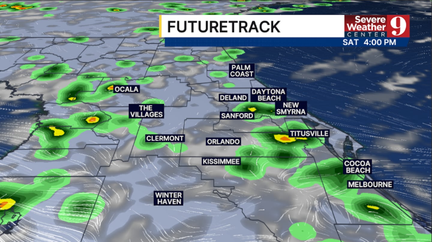
Deeper tropical moisture will push into the area starting Saturday, bringing higher storm chances to the area.
Tonight will remain mostly quiet, with the scattered showers fading away. Morning lows will be in the mid 70s.
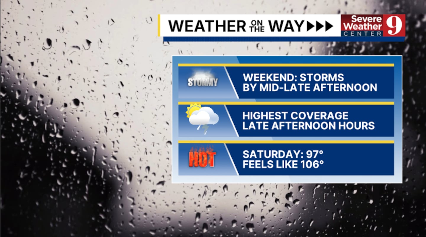
Higher storm chances arrive for Saturday. The best chance for activity will be in the afternoon and evening hours, with highs soaring into the upper 90s.
Even more moisture pushes in for Sunday. Expect fairly widespread coverage of PM rain and storms, with cooler temps in the mid 90s.
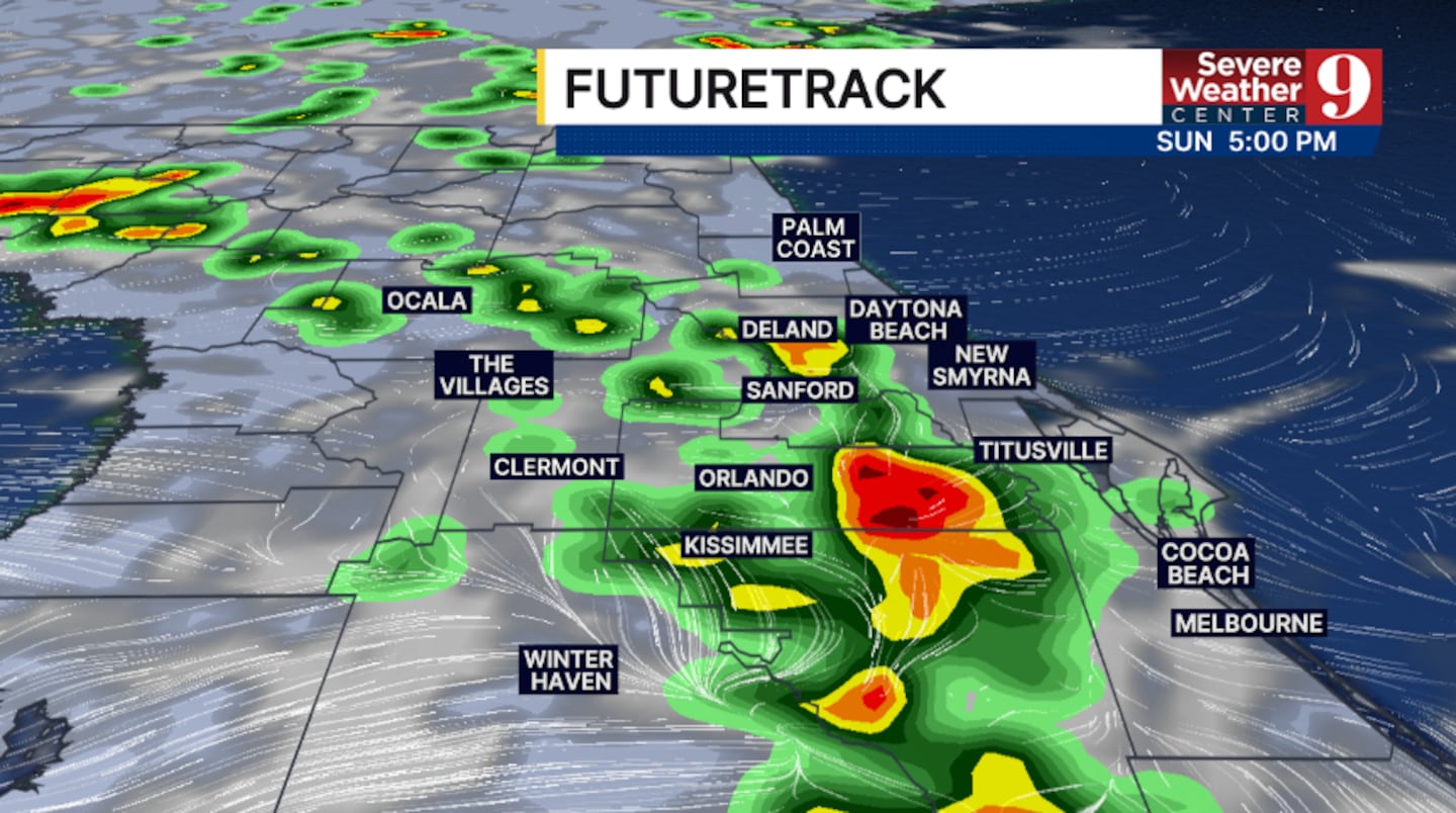
The active weather pattern continues to start next week. The widespread PM storms will continue Monday and Tuesday, with temps in the low to mid 90s.
The rest of next week looks fairly unsettled. Expect elevated rain and storm chances through next Friday with temps in the 90s.
Click here to download our free news, weather and smart TV apps. And click here to stream Channel 9 Eyewitness News live.

©2026 Cox Media Group


