
ORLANDO, Fla. — It was a sunny and warm Saturday, but some changes are ahead to close out the weekend.
We’ll see increasing clouds tonight as our next storm system approaches the area. Some patchy fog may also develop towards daybreak once again, with temps in the low 60s.
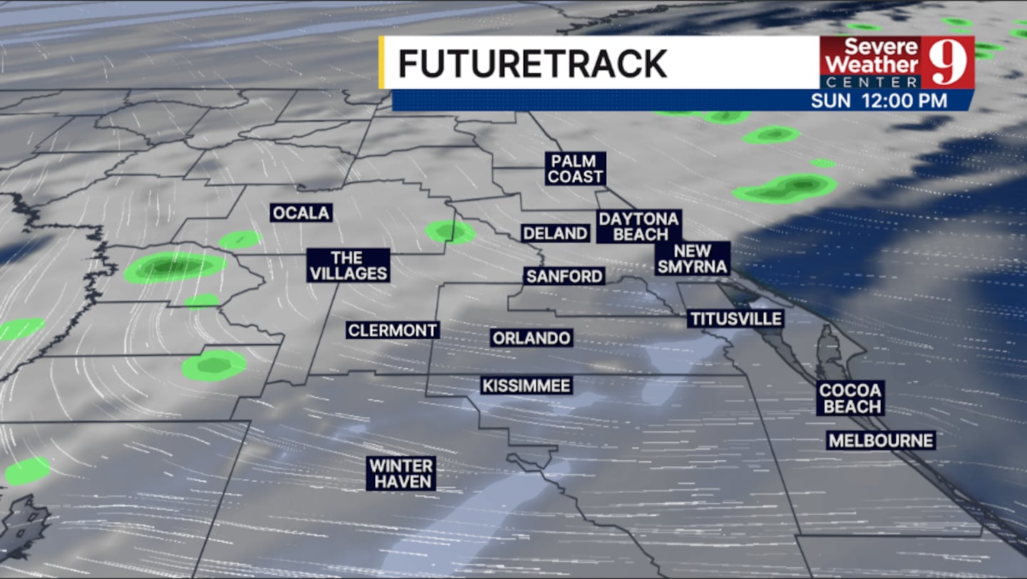
Clouds and rain chances move in for Sunday. A cold front will sweep through the region, bringing scattered showers and cooler temperatures. Highs for Sunday are expected to be in the upper 70s.
More cool air is expected to move in next week. We’ll see partly sunny skies Monday and Tuesday, with highs only in the upper 60s and low 70s.

A strong cold front pushes toward Central Florida for the middle of next week. This will bring higher rain chances for Wednesday and early Thursday, with highs in the low to mid 60s.
Sharply colder air rushes behind the front, with highs to close out next week only in the low 60s, and morning temps in the 30s.
Click here to download our free news, weather and smart TV apps. And click here to stream Channel 9 Eyewitness News live.

©2026 Cox Media Group


