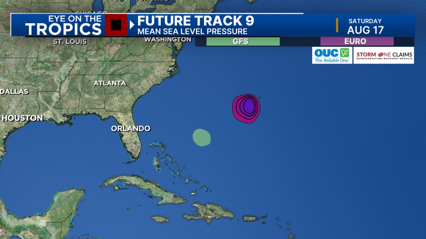
ORLANDO, Fla. — An area of showers and storms associated with a tropical wave in the Atlantic will see some gradual development over the next few days.
▶ WATCH CHANNEL 9 EYEWITNESS NEWS
By the middle of next week, conditions will improve for development and we’ll likely see a tropical depression form.
Both the GFS and Euro models develop this storm, but they keep it to the east of the Florida Peninsula.
Read: Hot and steamy Saturday in Central Florida
Channel 9 continues to monitor and track during the week. Next name on the list Ernesto.
Read: Last chance to save: Florida’s back-to-school tax holiday ends Sunday
Channel 9 will continue to monitor all activity in the tropics and provide updates on Eyewitness News.
Follow our Severe Weather team on X for live updates:
Click here to download our free news, weather and smart TV apps. And click here to stream Channel 9 Eyewitness News live.
©2024 Cox Media Group


