
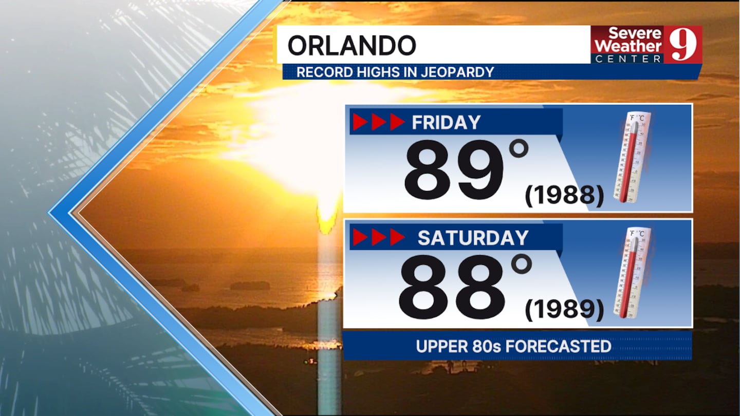
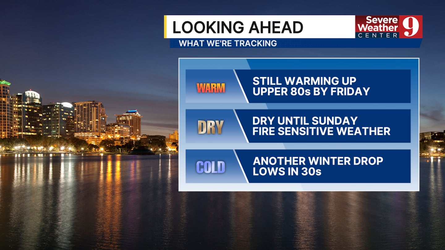
, Fla. — Temperatures continue to climb in Central Florida. Afternoon high temperatures could approach record-breaking levels by Friday and Saturday this week.
This is due to high pressure building over the southeast.
The fire danger remains high, but we are beginning to see more humidity, which will help us slightly in the short term.
Factors such as a significant drought, limited recent rainfall, an abundance of dry brush, and rising temperatures mean that if a fire were to start, it could still spread very quickly in Central Florida.
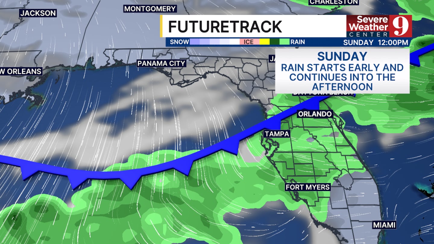
Our next chance of rain will come on Sunday. We are not expecting much, with less than half an inch for all locations. However, it will bring our temperature down significantly to start off next week.
No severe weather is expected with this system, but some weak thunderstorms may occur.
We have issued Weather on the Way for Monday and Tuesday due to the cold and wind.
After this front, we will see a cooldown and potentially the driest and windiest conditions we have seen so far this year.
Lows in Orlando could fall into the upper 30s by Tuesday morning. Marion County could get close to the freezing point.
Wind gusts could exceed 40 mph in some areas starting Monday afternoon, leading to elevated fire danger next week.
Click here to download our free news, weather and smart TV apps. And click here to stream Channel 9 Eyewitness News live.

©2026 Cox Media Group


