ORLANDO, Fla. — We are tracking an isolated chance of strong to severe storms this afternoon due to heat and humidity interacting with the seabreeze.
Invest 91L will also have a small impact on increasing moisture in the air during that time.
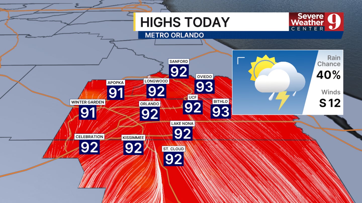
Afternoon high temperatures today will range from the low to mid-90s. The heat index, however, will reach the triple digits for most of central Florida.
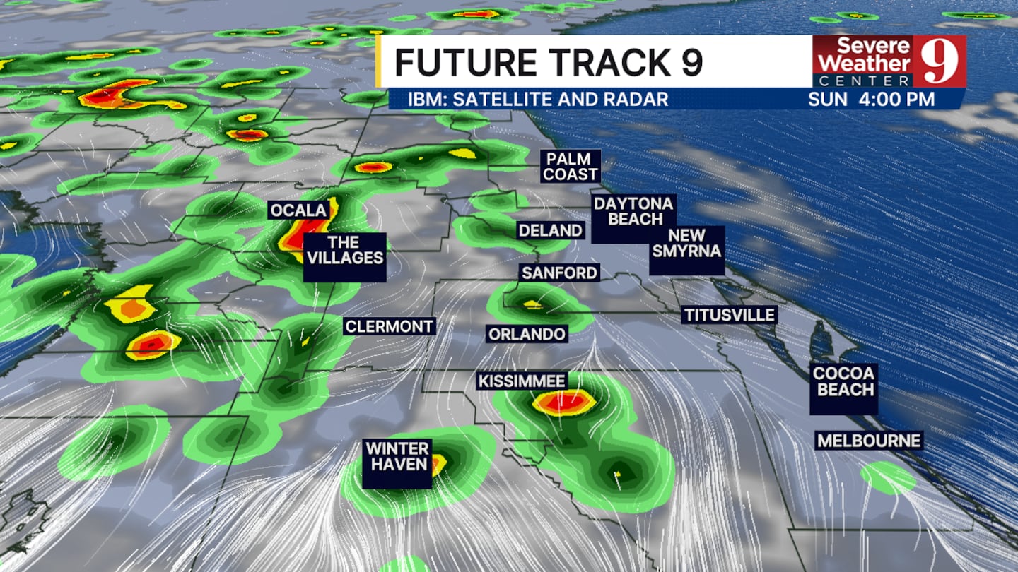
The best rain chances today will start in the early afternoon with some showers building in our western counties, such as Polk, Sumter, and Lake.
The storms will intensify between 2:30 and 7:00 p.m., with an isolated chance of severe storms.
The main impacts of the storms will be wind gusts up to 50 mph, frequent lightning, and pockets of heavy rain.
Another round of rain and thunderstorms is expected for Monday, but overall dry conditions will take over most of this upcoming week.
Click here to download our free news, weather and smart TV apps. And click here to stream Channel 9 Eyewitness News live.

©2026 Cox Media Group


