
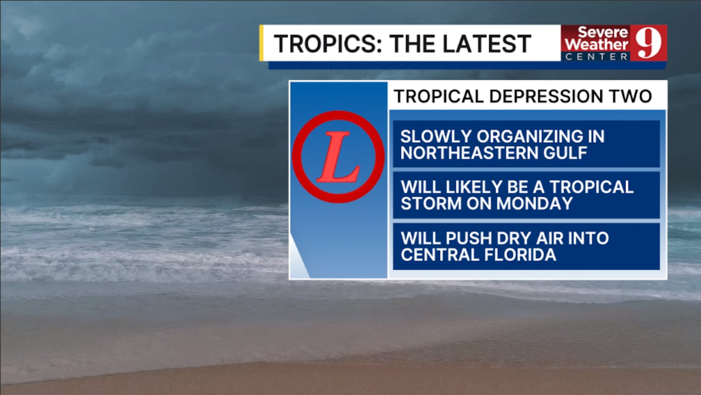
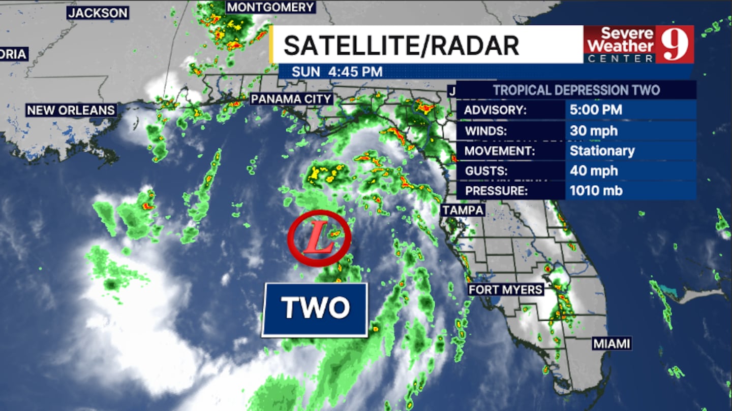
ORLANDO, Fla. — Tropical Depression Two continues to meander in the northeastern Gulf and will likely be a tropical storm by Monday.
The 5 pm advisory from the National Hurricane Center had winds of 30 mph.
The depression was upgraded from Invest 91L on Sunday morning.
A Tropical Storm Watch continues for the Florida Panhandle, from the Ochlockonee River to the Alabama state line.
Additional tropical storm watches or warnings will likely be required over the next 1-2 days along the northern Gulf coast.
Gradual strengthening is forecast, and the depression is expected to be a tropical storm on Monday.
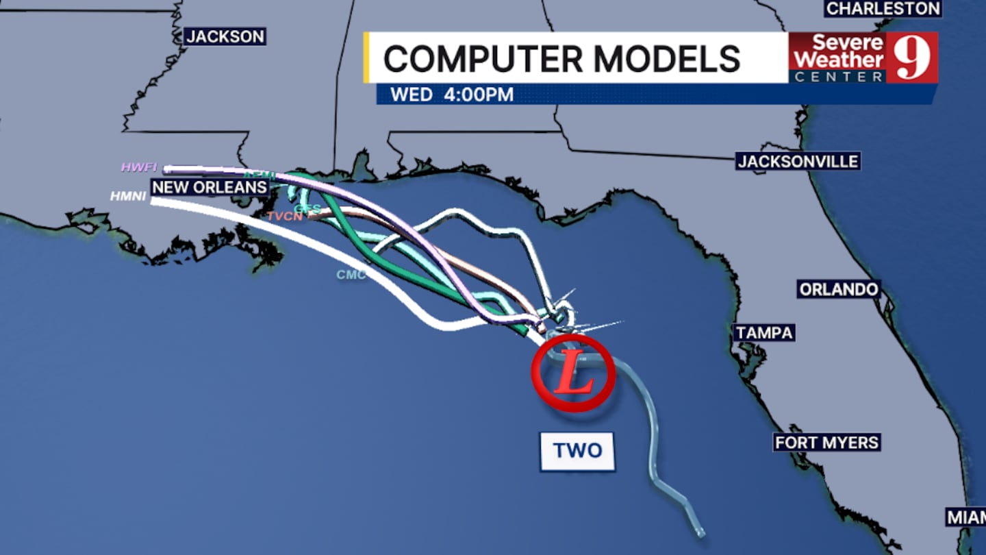
The system is expected to turn west-northwestward and parallel the northern Gulf coast through midweek.
Tropical storm conditions are possible along the Florida Panhandle beaches by Monday evening.
The complex will be capable of producing 2-4 inches of rainfall along the northern Gulf coast, with isolated 8-inch totals possible.
For Central Florida, as the depression moves westward, drier air will continue to move into the region. This will reduce the chances of rain and storms through late week.
Stay with Severe Weather Center 9 for the latest on Tropical Depression Two.
Click here to download our free news, weather and smart TV apps. And click here to stream Channel 9 Eyewitness News live.

©2026 Cox Media Group


