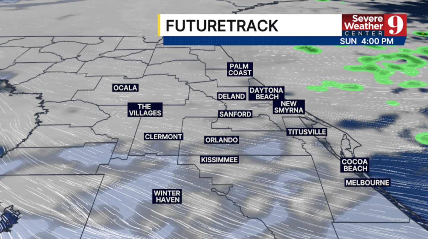
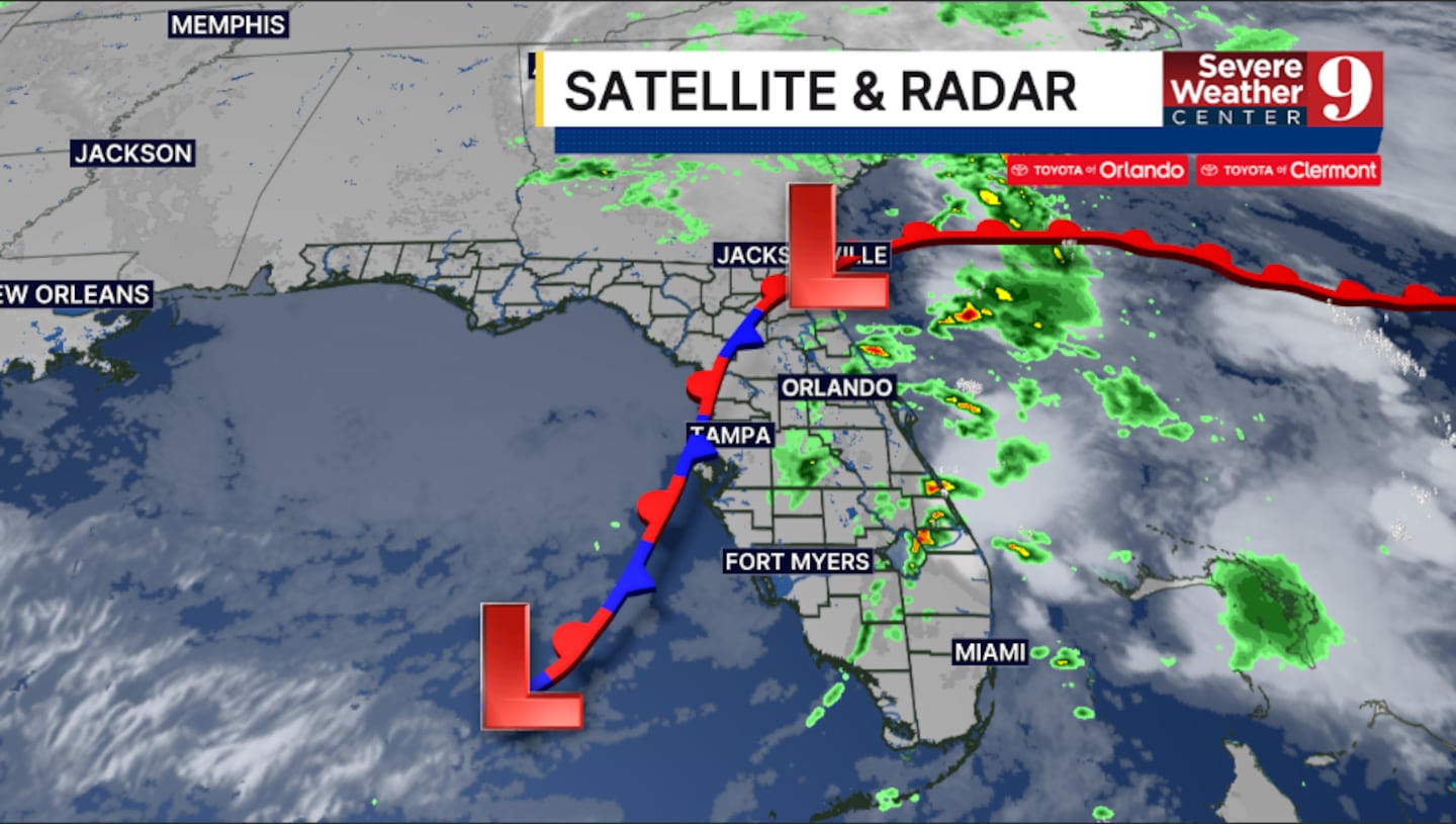
CENTRAL FLA. — We started the weekend with scattered showers and storms, but drier weather finally returns for Sunday.
The scattered activity will exit this evening, with mostly cloudy skies overnight. Morning lows will be in the mid-60s.
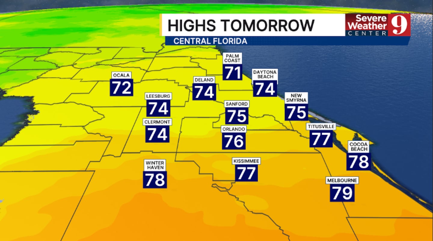
We start with clouds and dry conditions. Skies will partially clear during the day, with highs in the mid-70s.
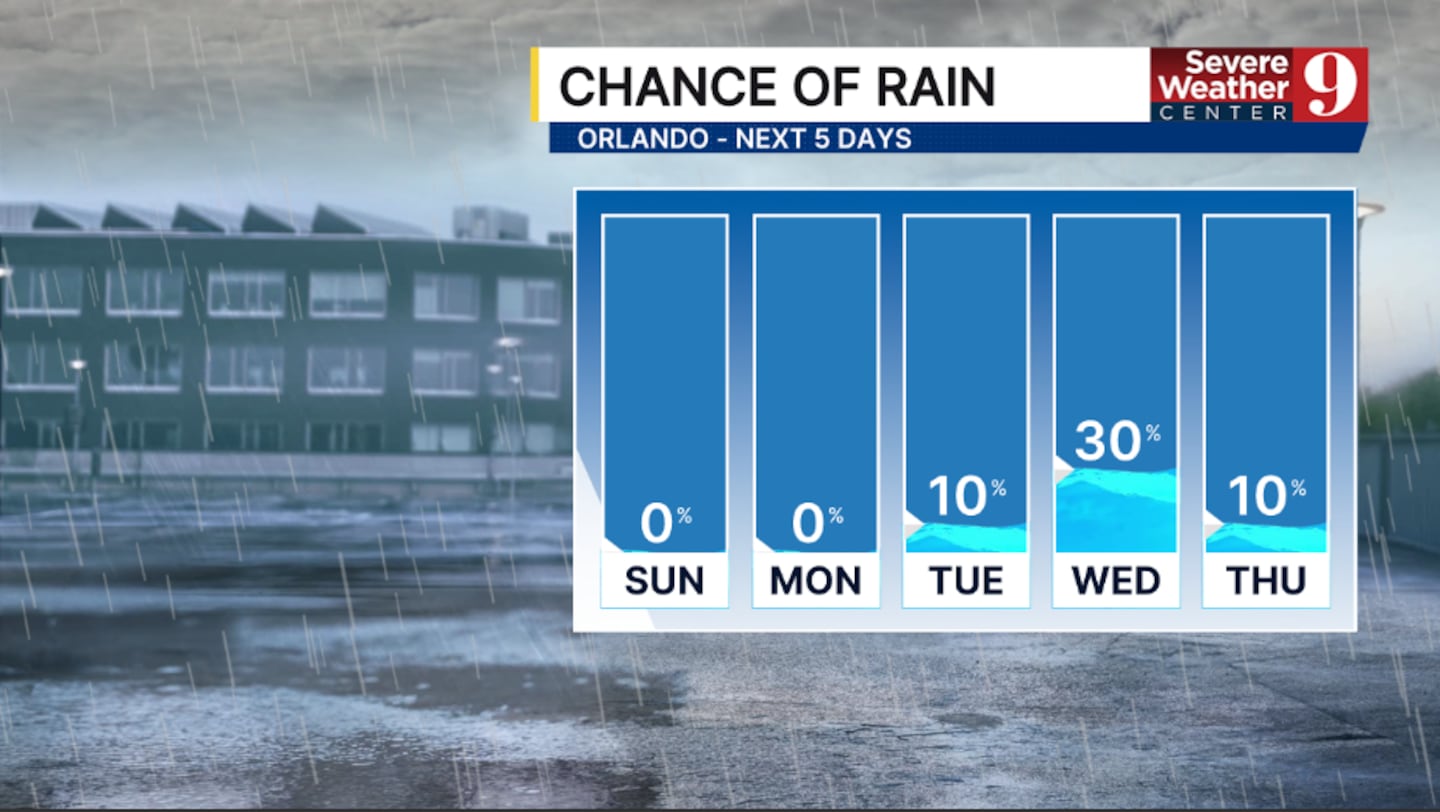
The dry conditions are expected to continue into next week. Expect partly cloudy skies for Monday, with highs in the 70s.
While the flash-flooding threat is over, river flooding will remain a major concern along the St. Johns for the next several weeks.
Our next storm system arrives Tuesday into Wednesday, but heavy rainfall is unlikely. The best chance of rain will be Wednesday, with highs in the mid-70s both days.
Thanksgiving Day right now looks to feature partly sunny skies, and a stray shower possible. Temps for the holiday will be in the low 70s.
Rain chances will continue into the remainder of the holiday break, but a washout is unlikely.
Click here to download our free news, weather and smart TV apps. And click here to stream Channel 9 Eyewitness News live.

©2026 Cox Media Group


