
ORLANDO, Fla. — After an unsettled weekend, Central Florida will see additional rounds of rain and storms during the first half of the workweek.
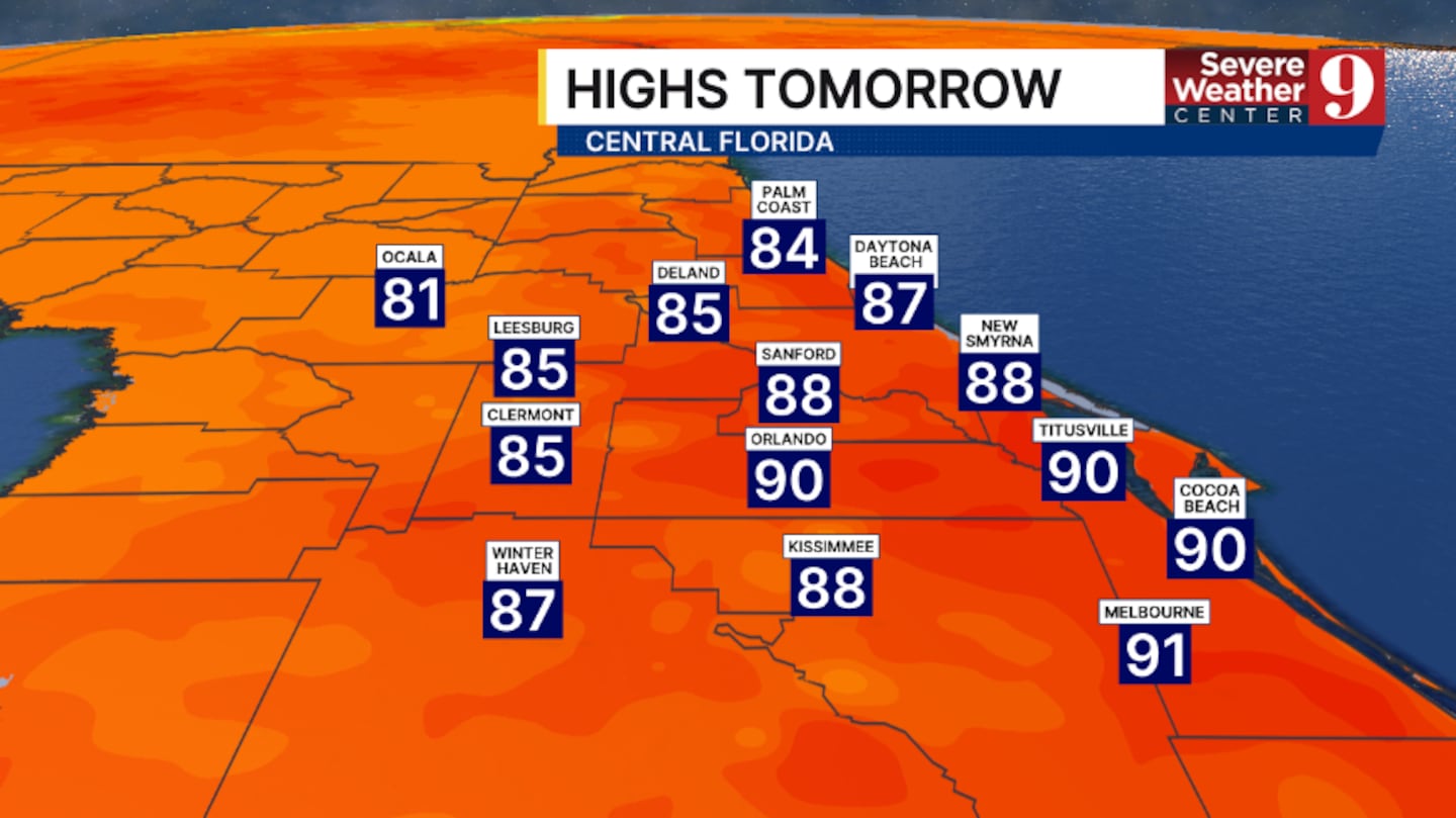
Scattered showers and storms will wind down Sunday evening, although some activity could continue overnight. Temperatures will fall into the mid-70s.
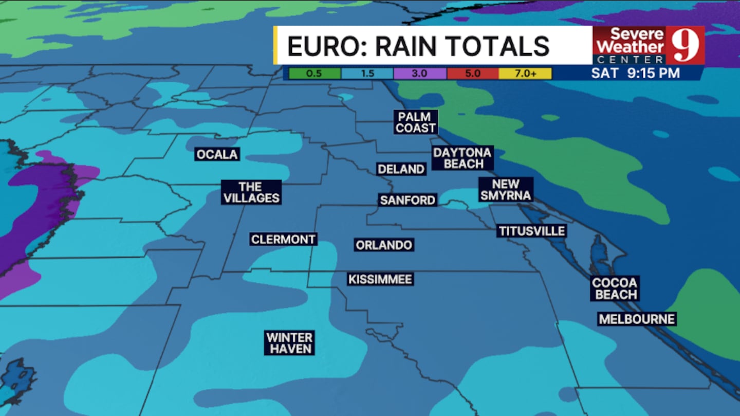
Rain and storms are expected to develop again late Monday morning and around midday before moving across the region. Afternoon highs will reach the low 90s.
Elevated rain chances will continue Tuesday as increased moisture remains over Central Florida. Storms could again begin developing during the late morning and midday hours, with highs in the low 90s.
A more typical rainy-season pattern returns Wednesday, although storm coverage is expected to remain above average.
Drier air could arrive later in the week and reduce rain chances across the region. High temperatures will remain in the low 90s.
Another surge of deep tropical moisture could bring a more active weather pattern back to Central Florida next weekend.
Continue to monitor WFTV.com and Channel 9 Eyewitness News for the latest forecast.
Click here to download our free news, weather and smart TV apps. And click here to stream Channel 9 Eyewitness News live.

©2026 Cox Media Group


