
CENTRAL FLORIDA, Fla. — Heavy rain has moved out, but rising water along the St. Johns River is expected to bring major to record flooding in the coming days, according to Severe Weather Center 9.
New forecasts show record water levels near Cocoa on Saturday morning and at Lake Harney on Sunday afternoon. Lake Monroe at Sanford is expected to crest Tuesday afternoon, extending the flooding concern beyond the weekend.
The forecasts follow rainfall totals exceeding 2 feet in Cocoa Beach and approaching 23 inches in Allandale in Volusia County.
Follow Channel 9’s live flooding updates and find safety resources.
St. Johns near Cocoa already above previous record
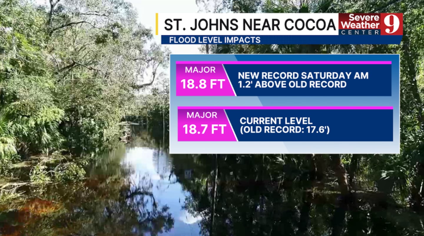
The St. Johns River near Cocoa was at 18.7 feet in the latest Severe Weather Center 9 update, above the previous record of 17.6 feet.
The river is forecast to reach 18.8 feet Saturday morning, 1.2 feet above that previous record. Both the current and forecast levels are classified as major flooding.
Rockledge officials have urged residents in flood-threatened areas to prepare to leave before rising water cuts off roads and access to neighborhoods.
Lake Harney forecast to set record Sunday
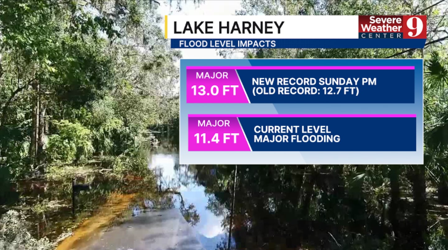
Lake Harney was at 11.4 feet, already in major flood stage.
The forecast calls for a rise to 13 feet Sunday afternoon, exceeding the previous record of 12.7 feet.
Lake Monroe could crest Tuesday
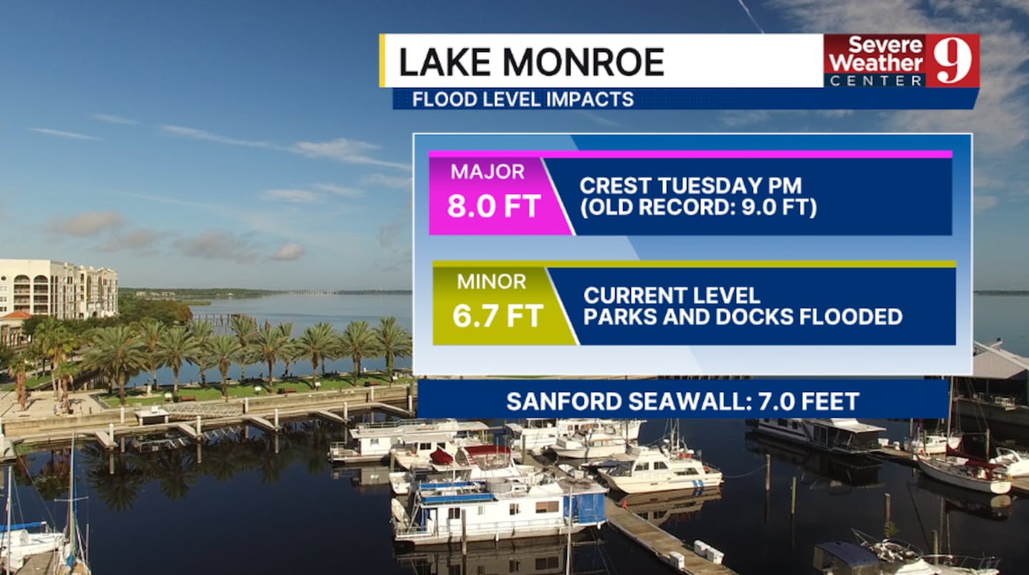
At Sanford, Lake Monroe was at 6.7 feet, classified as minor flooding, with parks and docks flooded.
The lake is forecast to crest at 8 feet Tuesday afternoon, reaching major flood stage. That would remain below its previous record of 9 feet.
Channel 9’s graphic lists Sanford’s seawall height at 7 feet.
The broader river forecast also highlights flooding concerns near Geneva, DeLand and Astor.
Rainfall totals exceed 2 feet in Cocoa Beach
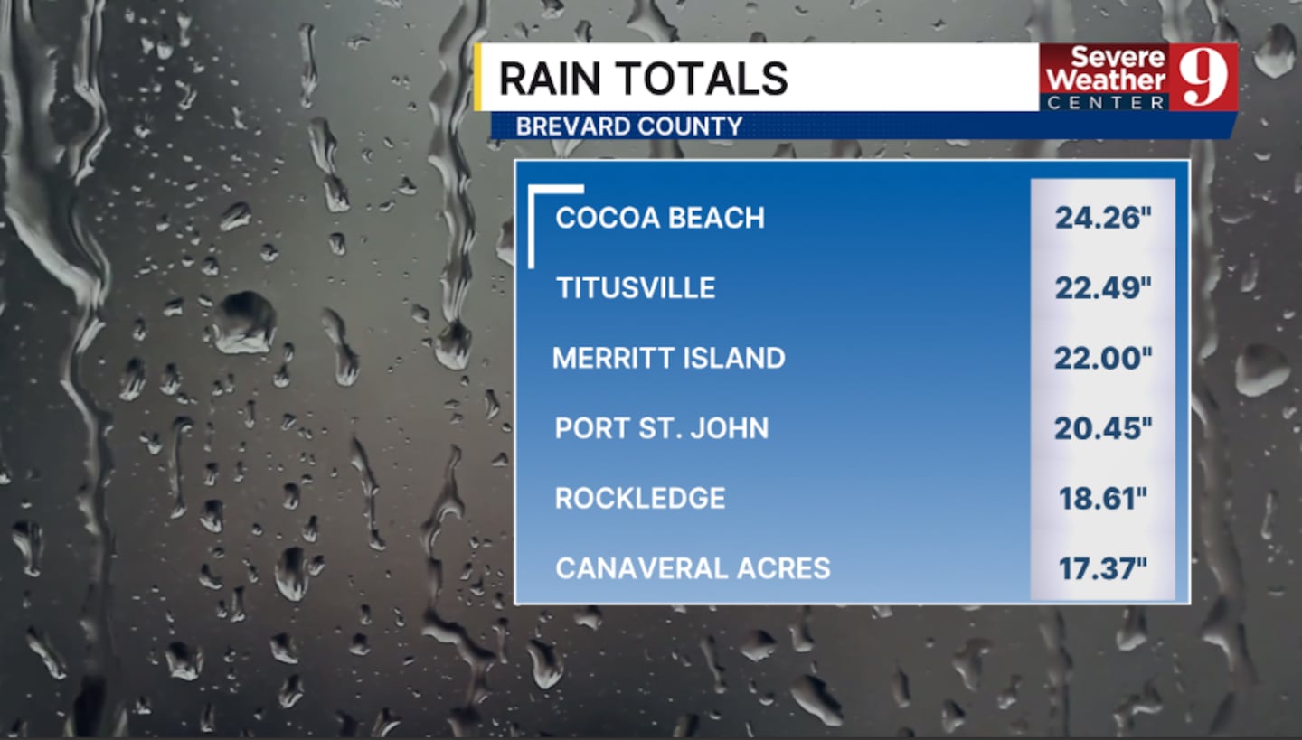
Severe Weather Center 9 shared these rainfall totals.
| Cocoa Beach | 24.26 inches |
| Titusville | 22.49 inches |
| Merritt Island | 22.00 inches |
| Port St. John | 20.45 inches |
| Rockledge | 18.61 inches |
| Canaveral Acres | 17.37 inches |
| Allandale | 22.95 inches |
| Daytona International Airport | 15.82 inches |
| Port Orange | 14.73 inches |
| Wilbur-by-the-Sea | 13.77 inches |
| Ponce Inlet | 13.45 inches |
| Edgewater | 12.79 inches |
Residents should continue avoiding flooded roads and follow instructions from local emergency officials as river levels rise.
Check FL511 for road closures and watch Channel 9’s live coverage.
Click here to download our free news, weather and smart TV apps. And click here to stream Channel 9 Eyewitness News live.

©2026 Cox Media Group


